Here are some of my favorite tips to a successful BBNP adventure.
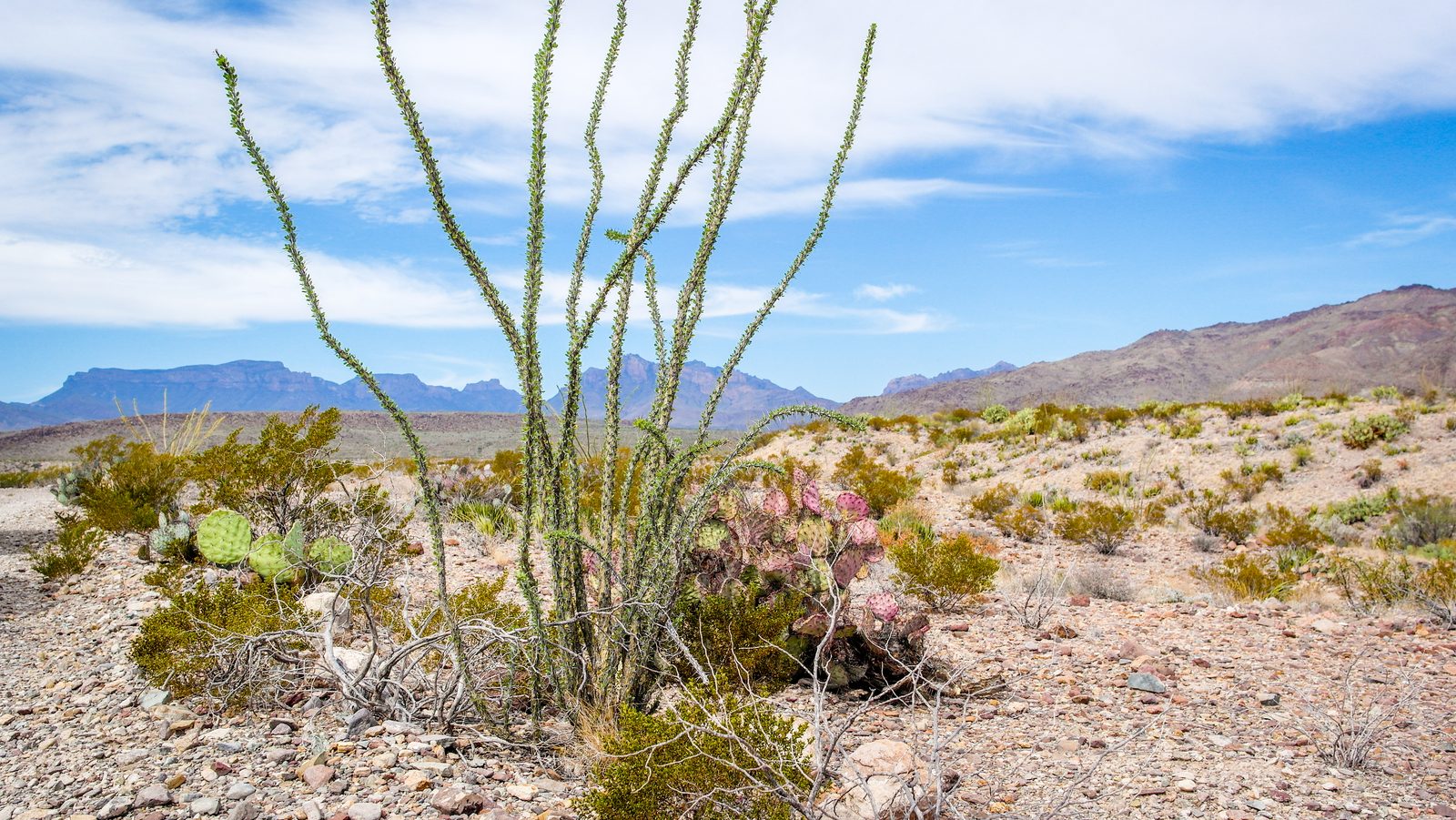
I’ve gotten many questions about Big Bend National Park over the years. How long does it take to get there? Where did you camp? What should I bring? Will my vehicle make it? Anything, in particular, I should know? I’ve been there 3 times in the past 6 years and have another trip planned in a few months.
I may not have the most hands-on experience as others out there, but I do my research so I’ll share what I know with you. If you’d like to leave me a message with more of your own tips, I’ll be happy to add them to this article.
Getting There
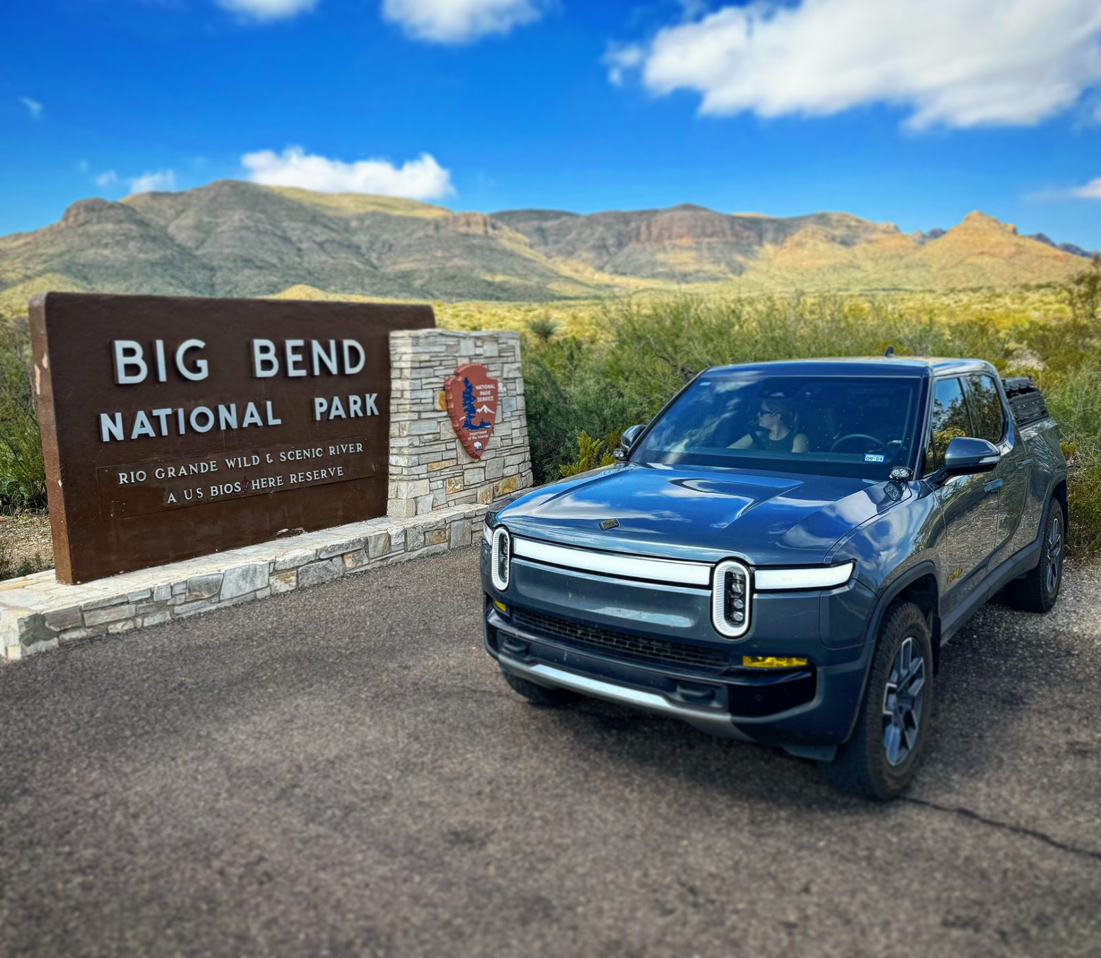
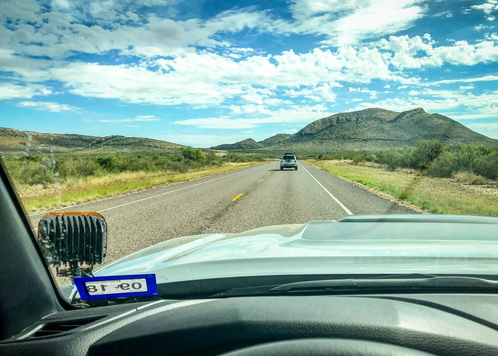
It’s far. Really far. No seriously…. Google Maps will tell you it’s 7 hours from Austin TX (our home base). Add a couple of hours just to make your way down into the park once your turn off from Marathon, get assigned to a camping spot (if camping backcountry), and actually get to it. Plan a full day just to get to your campsite.
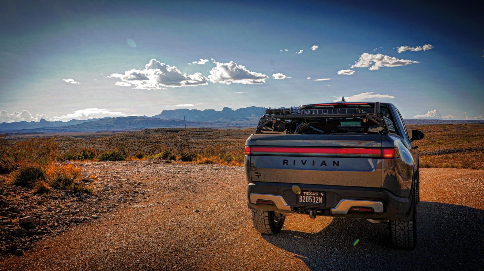
Fuel on the way out there can get tricky if you don’t plan ahead. Our group’s plan is to always leave Austin on a full tank, fuel up in Ozona, and fuel up again in Marathon about 60 miles north of the park. This allows us to get there without any issues with a crew of newer Tacomas, 4Runners, and an Xterra. There is fuel in the park at 2 different locations, and you’ll need it. NOTE: fuel is pricey in the park but they do take credit card. We always bring our Rotopax just in case we come across someone in a dire situation. It’s one of those “just-in-case” tools.
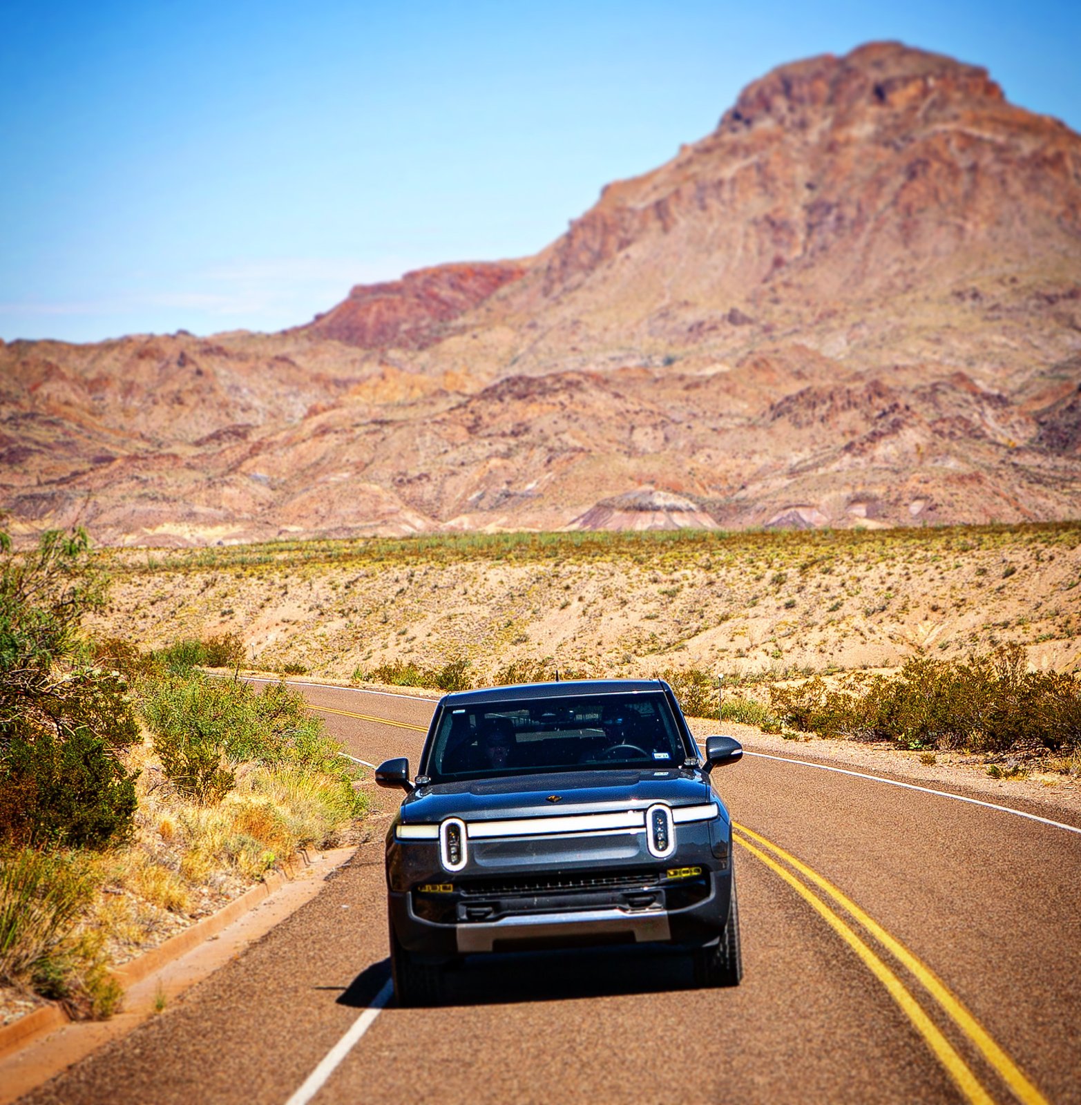
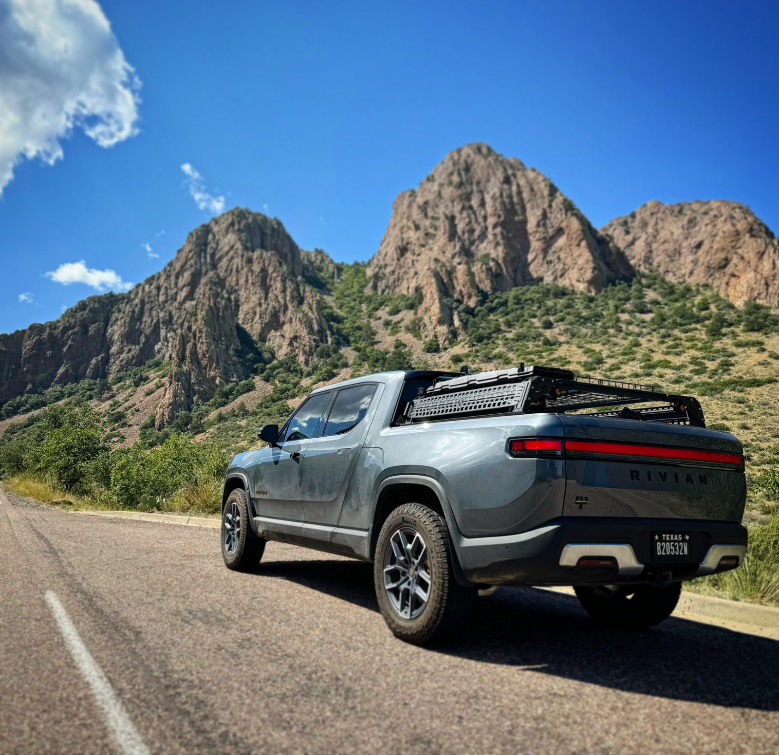
Regarding vehicle of choice, obviously, an "off-road" SUV or truck will get you farther into the wilderness. Don't expect to show up in your Honda Civic and camp 3hrs removed from the road. You won't make it. You can, however, show up with the vehicle of your choice and let the Park Rangers guide you accordingly. There are plenty of camping options inside the park that will accommodate a "normal" vehicle.
Picking a Camping Spot Inside the Park
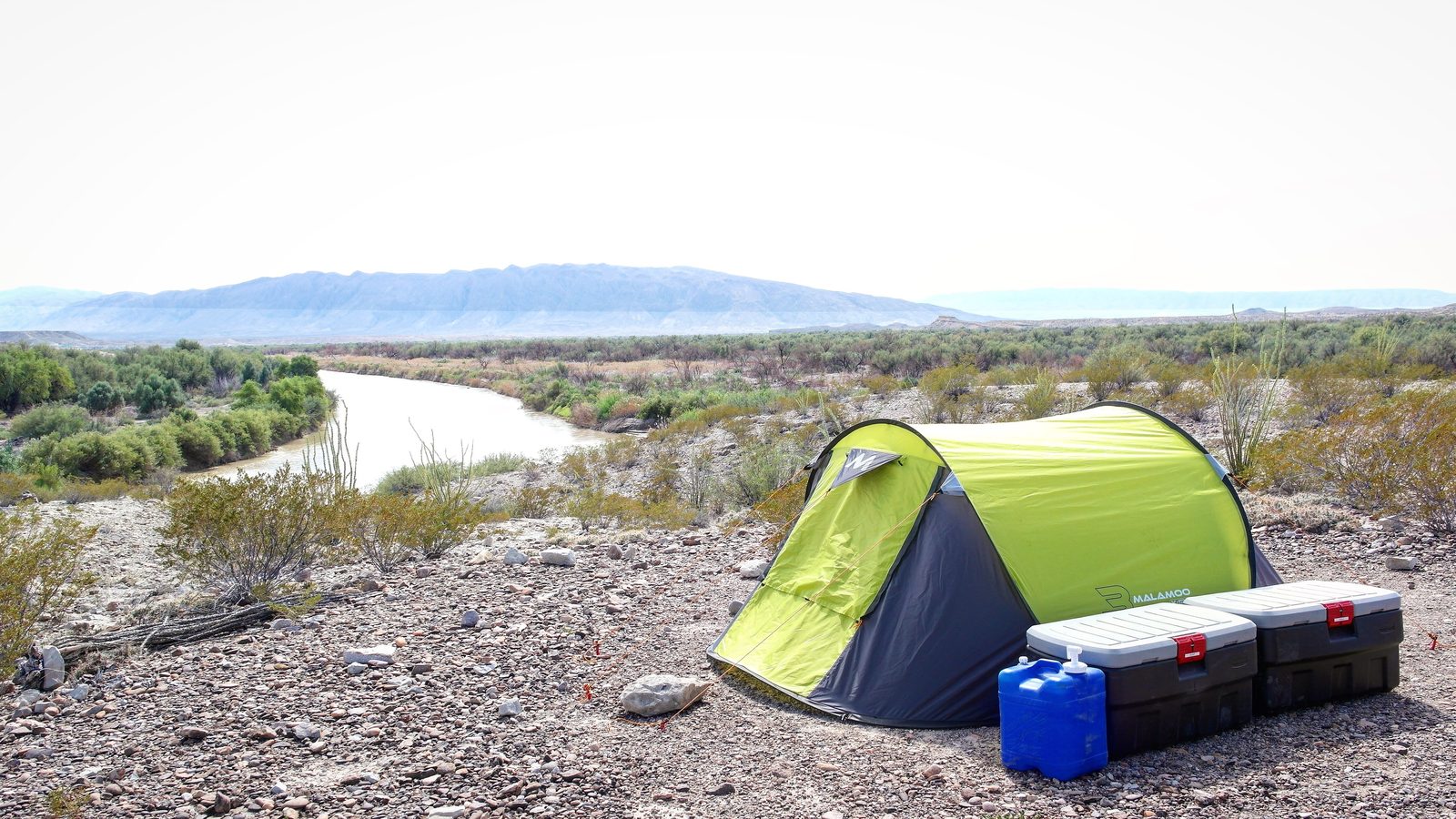
There are different ways to get access to a backcountry (primitive) camp spot. We always head straight to the Panther Junction Visitor Center to check in, which is mandatory. NOTE: it closes at 5 pm so best leave home early in the morning in order to make it there on time.
If you arrive later than checkin cutoff time, you will be forced to camp at Rio Grande Village, Chisos Basin, which are what I like to refer to as "driveway camping" spots. Chisos Basin is dead center in the middle of the park while Rio Grande Village is south. Both include a dedicated parking spot, with a picnic table, and nearby facilities. Otherwise there is the Cottonwood Campground which is due west on River Road, south of the park.
Direct from NPS.gov:
- Chisos Basin Campground (60 sites, 26 reservable)
- Cottonwood Campground (24 sites, no reservations)
- Rio Grande Village Campground (100 sites, 43 reservable)
Once you are checked in, you will need to talk with the Ranger to determine the best camping spot for you, depending on availability. It's possible you will have to move every night or every few nights if it's a busy time of year.
Backcountry sites are first-come, first-serve. You won’t be able to show up with a crew of 8 rigs and expect to camp together in one spot. Best case they will place 2-3 rigs at one spot, 2-3 more “next” to it (500 or so yards away), and the rest will have to be miles away, in most cases.
Direct from NPS.gov:
An organized group or individual party may not exceed a 15 person limit. There are currently only two Chisos campsites that can accommodate a group this size: it may be necessary to split the group to other campsites. Groups of of 5 to 15 may need to split into smaller groups but groups that split up must not exceed the total of 15 people per night for any one or group of sites in the Chisos backpacking zone. As permits are issued only on a first come, first-served basis, it is best to plan ahead, and have alternative itineraries in mind, especially during peak visitation periods.
I have personally camped:
- La Clocha 1 and 2
- Fresno
- Paint Gap 4
- Loop Camp 2
- Chisos Basin
Read below if you'd like some options for overnight options aside from primitive camping.
Getting Around 900,000 acres
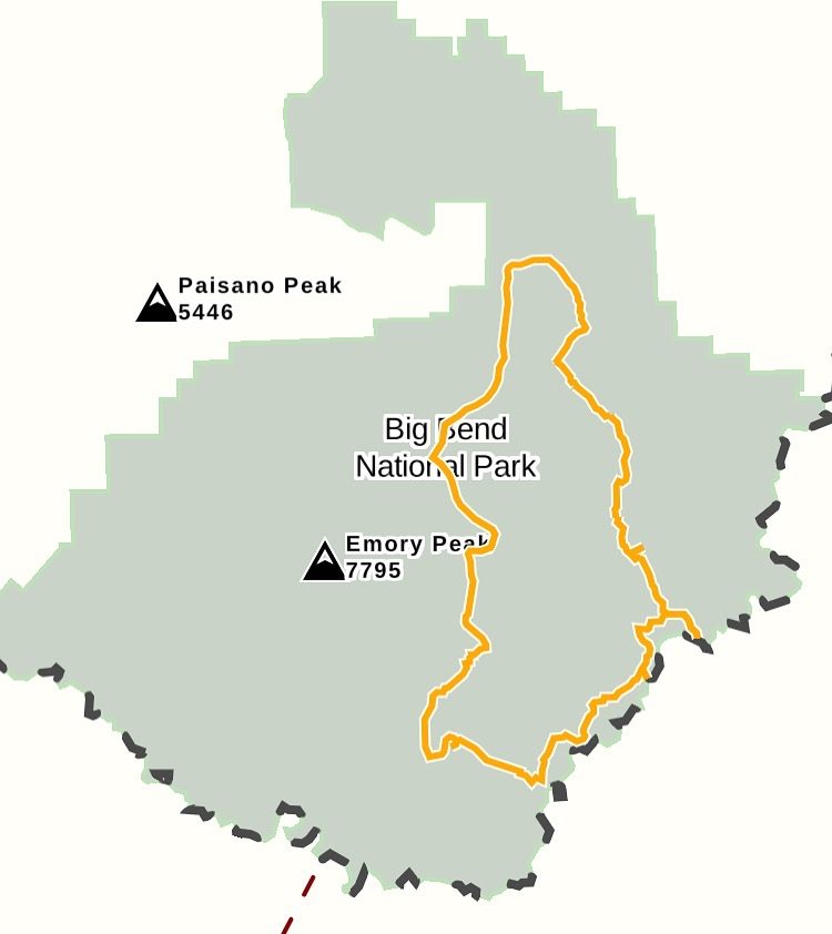
Almost 1,000,000 acres is no joke. Depending on where you camp, you could be 10mins from asphalt or 2hrs from it. Plan ahead and plan accordingly. Conditions can change quickly out there. Whether it’s being ready for the heat in the valley (+15 degrees warmer than at the visitor center) or a random rain shower that ensues in major changes to trails, washouts, and general precarious conditions.
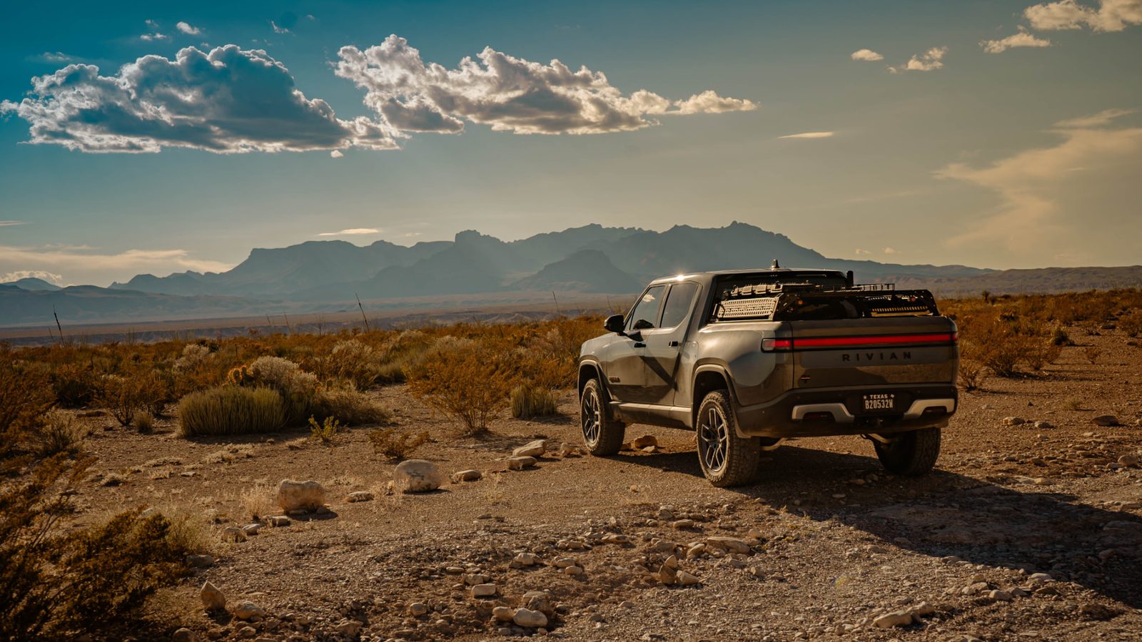
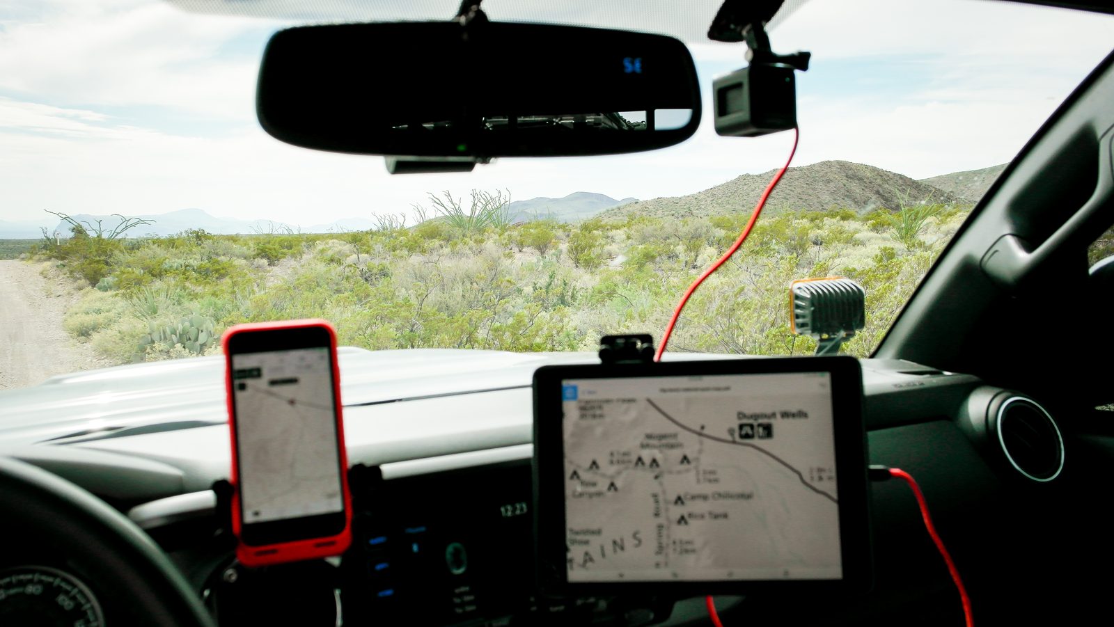
Have a map, have 2 maps, have all the maps. Personally, I use GAIA GPS on my iPhone and last time I also had the most current PDF map of the park displayed on my dash-mounted iPad.
Off-Road Trails
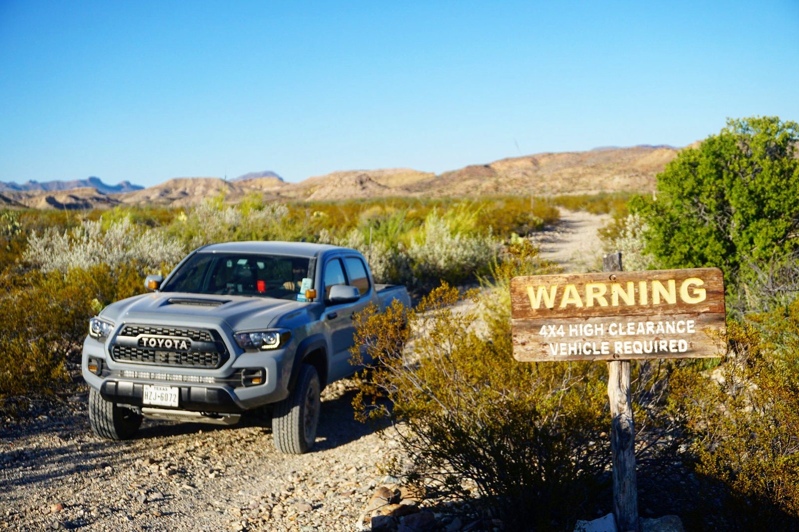
Old Ore Road
A fairly slow trail. 3-6hrs depending on how often you stop. Lots of pin-striping here and the most “twisting” you’ll encounter.
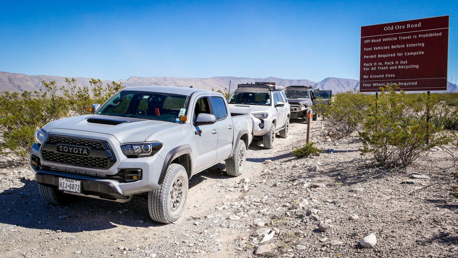
Glenn Springs
Some fast sections here. Your way to Black Gap Road from the North. A medium trail for this park.
Black Gap
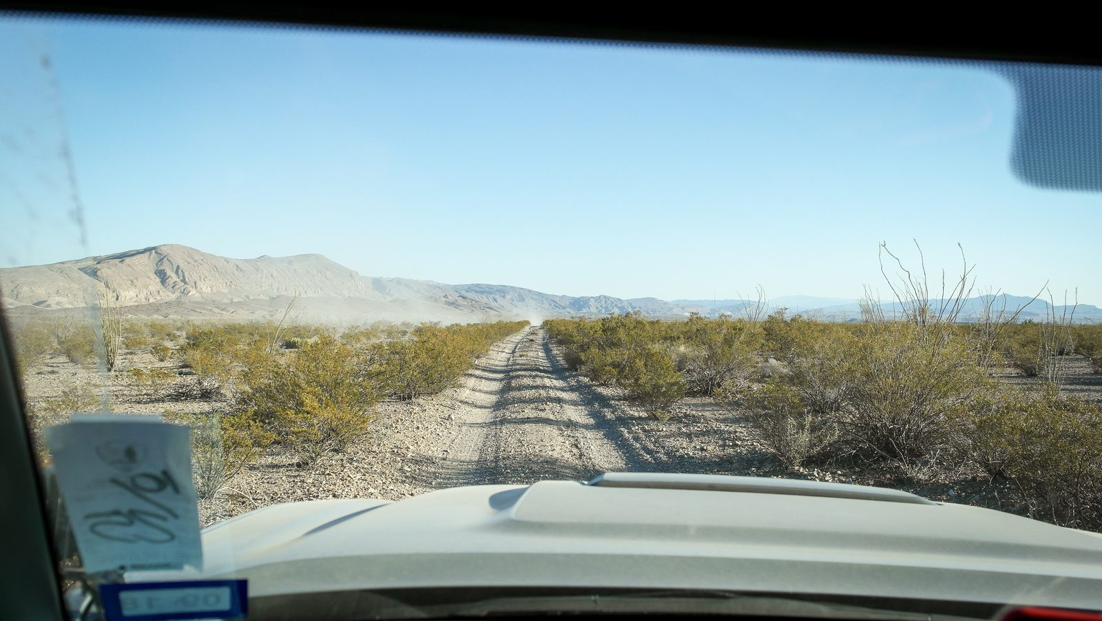
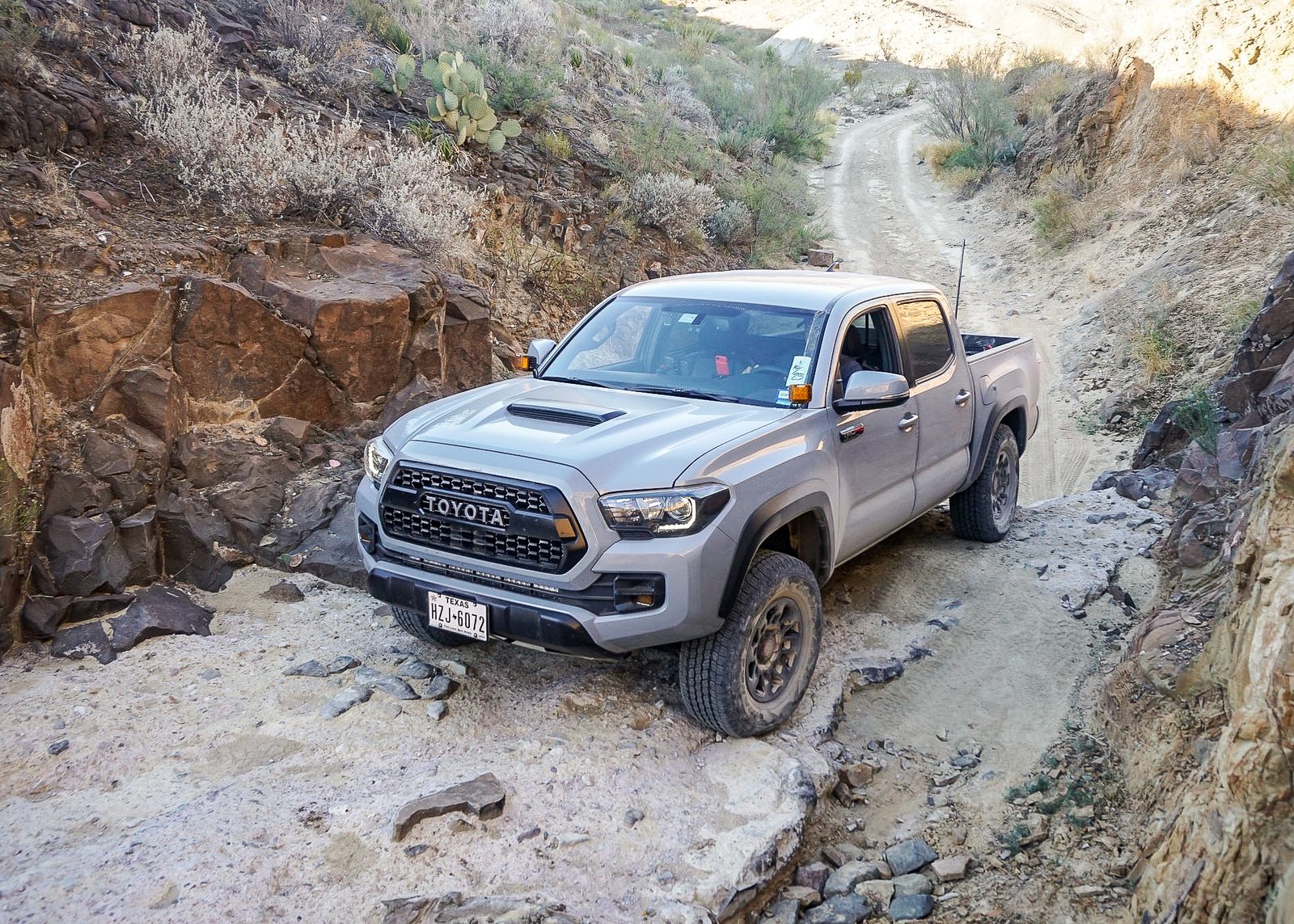
The famed, unmaintained road of BBNP. Rangers will try to scare you away from it. It’s really nothing bad unless it has been raining. The entrance to BGR from the North is a bit daunting, with a couple of major off-camber parts. I’ve done this road with a stock Tacoma and only dragged my hitch a couple of times. Just be mindful.
River Road
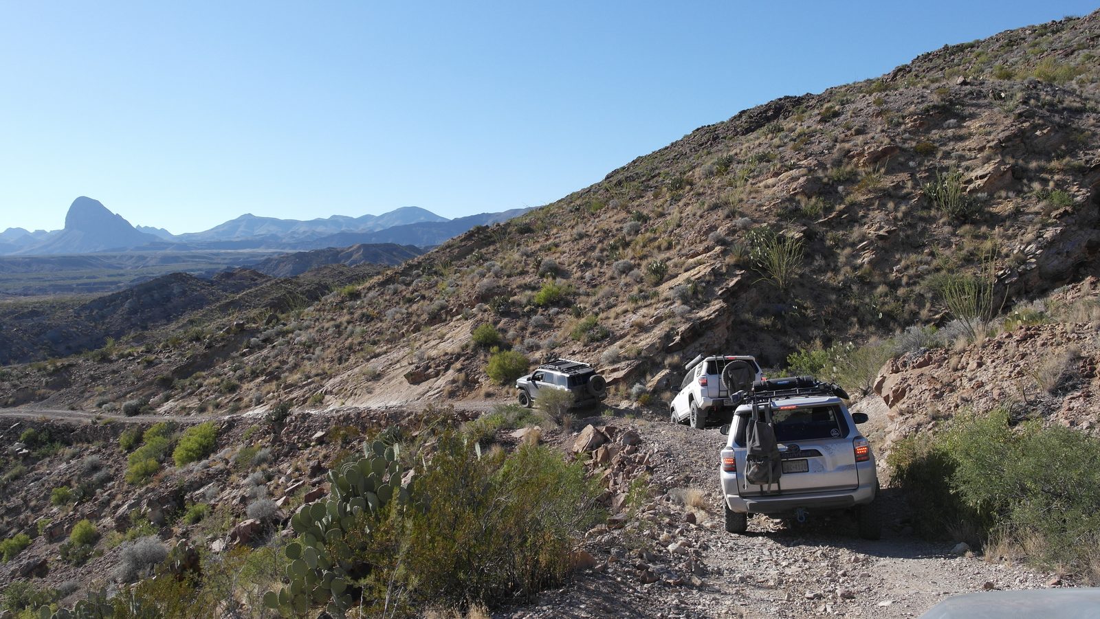
Running all of River Road will take you half the day. Ask me how I know. Fun trail with quite a bit more sand and gravel than on other trails, probably since it’s alongside the Rio Grande. This is a potential way to get to Terlingua but again, plan accordingly. It will take you longer than you think.
Old Maverick
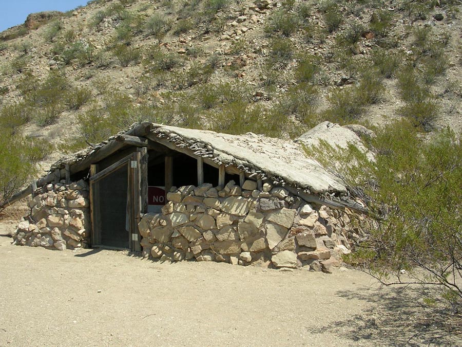
Photo: National Park Service · Public domain
I haven’t personally driven this road but I hear it’s a lot like River Road.
Things to Remember
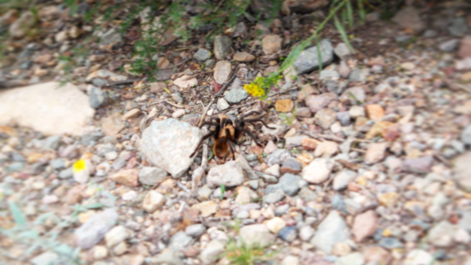
Respect the Park
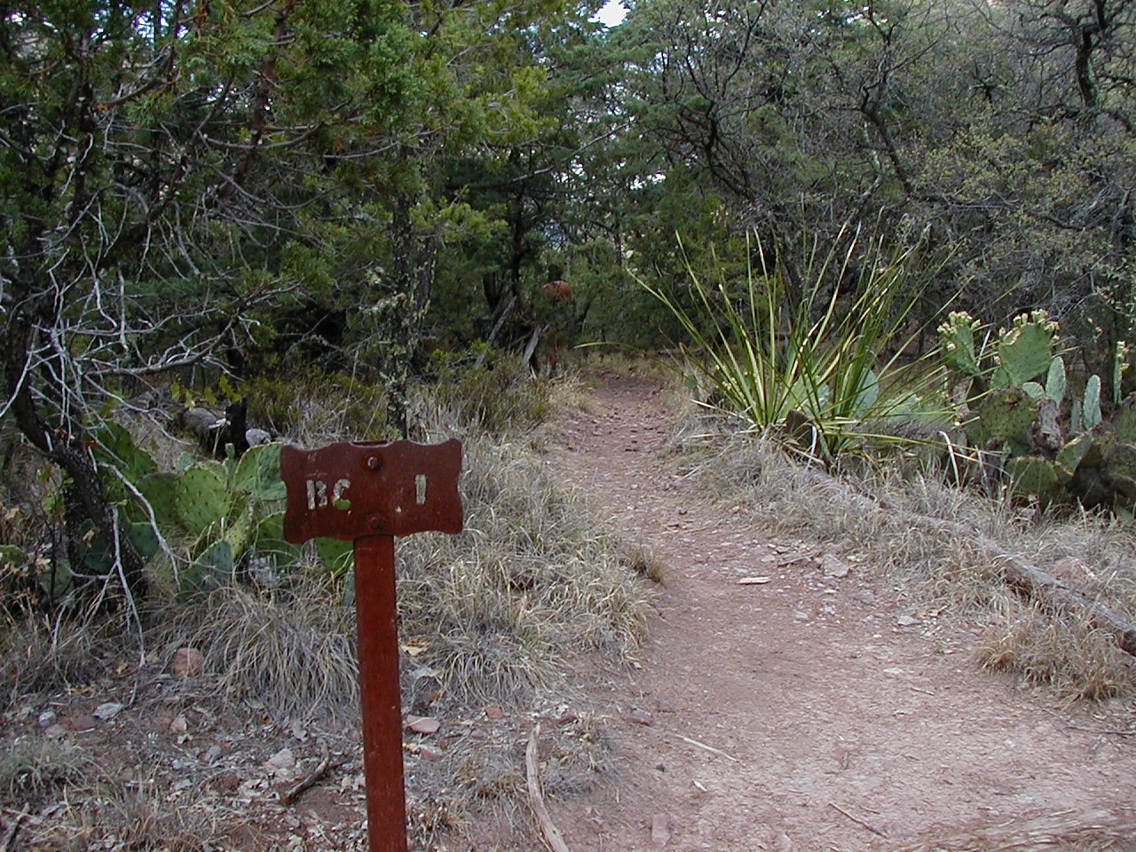
Photo: National Park Service · Public domain
Something important to remember is that this is a National Park, not a State Park (more on that in another article soon). That means everything is kept pristine and orderly, to the nth degree. Rangers can only do so much scattered throughout the park but they don’t play around with speeding, littering, and generally being disorderly. Pack it in, pack it out.
Absolutely no smoking, don't leave anything behind, and dogs are not allowed in the backcountry or inside buildings.
Wild Animals
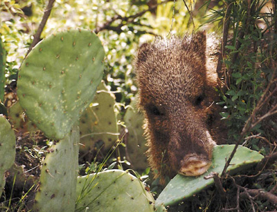
Photo: NPS / Cookie Ballou · Public domain
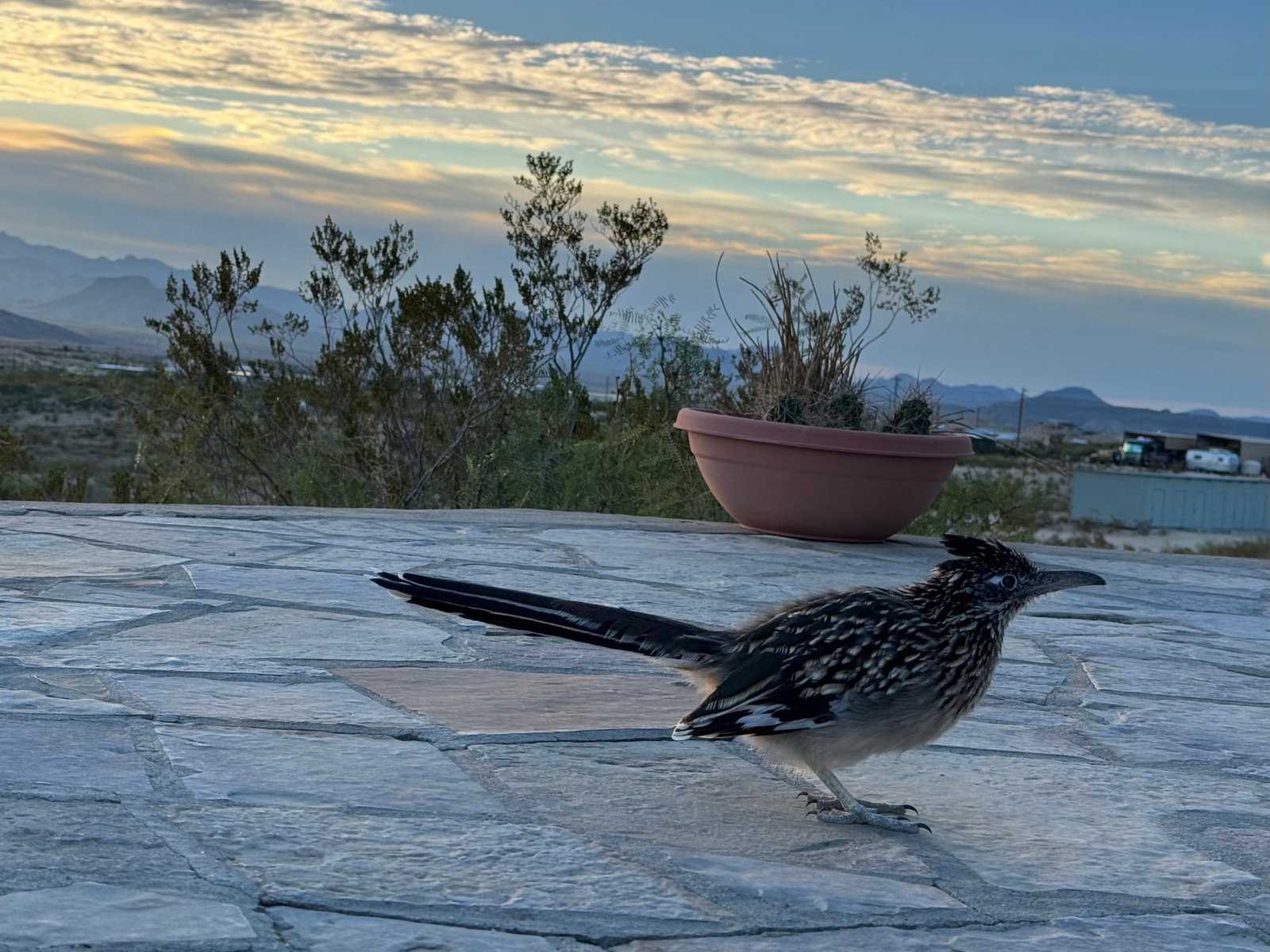
You will see jackrabbits, coyotes, javelinas. You will be warned of bears and cougars. Use the bear boxes, and be smart. I don’t camp with a gun but not a bad idea to have one.
Illegal Activities
This is probably the most danger you will encounter. Last fall camping in La Clocha, we woke up to a group of men in a rowboat not 100yards from us, bringing large blue barrels from Mexico into the US, with a waiting F250. Apparently, this is the spot they used to make their “transaction”. They never tried being quiet or anything like that. They were whistling and laughing. We kept to ourselves and they did the same. Speaking to a few Rangers and Border Patrol about this, it’s not an uncommon occurrence, just strange that they would do this right next to us (our trucks were easily visible from across the river). Seems there are many ways into private ranches from the park that fuel this type of activity. Be aware.
900,000 Acres
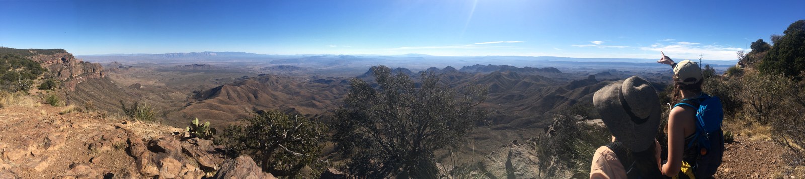
Photo: NPS / T. VandenBerg · Public domain
This place is huge. Driving to get help can take hours. Plan ahead and keep your head on. The weather can sneak up on you, such as brutal heat and flash flooding.
Water/Fuel
Bring plenty of both. I personally bring about 20 gallons of water in various containers. There are locations throughout the park where water is available, such as Panther Junction, Rio Grande Village, and Chisos Basin.
We also tend to have a few gallons of extra fuel amongst our group. It's just good insurance. Better have it and not need it, than need it and not have it.
No Fires
This is a National Park which means no ground fires. I have used a Camp Chef propane fire ring with success but forget trying to cook on it, it will barely keep you warm in 40 degree weather.
Passport/Visa
You will go through a border check about 50 miles out of the park. If you’re not American, make sure to have your passport and whatever visa handy. Bring your passport if you decide to cross the river to Boquillas for a bite to eat. You will need to officially re-enter the US with your passport afterward.
Bright Night Skies
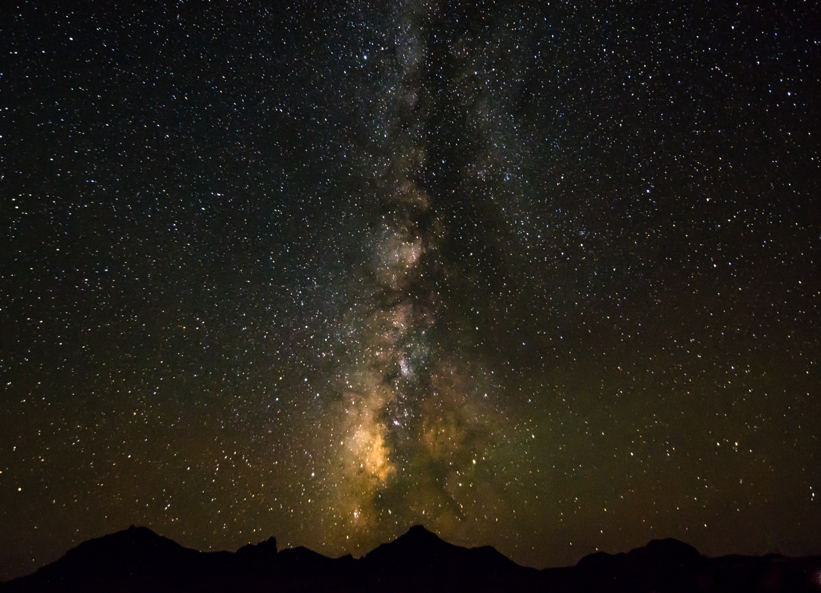
Photo: NPS / L. Bartsch · Public domain
This part of the country is known for its bright, clear skies. You will have a perfect view of the Milky Way at night. Depending on the time of the year, it's worth setting and alarm and getting out of your tent to look up at 3 or 4am. It's actually quite breathe-taking. Bring your fancy cameras, your telescopes, etc. You won't regret it.
Things to See
Rio Grande
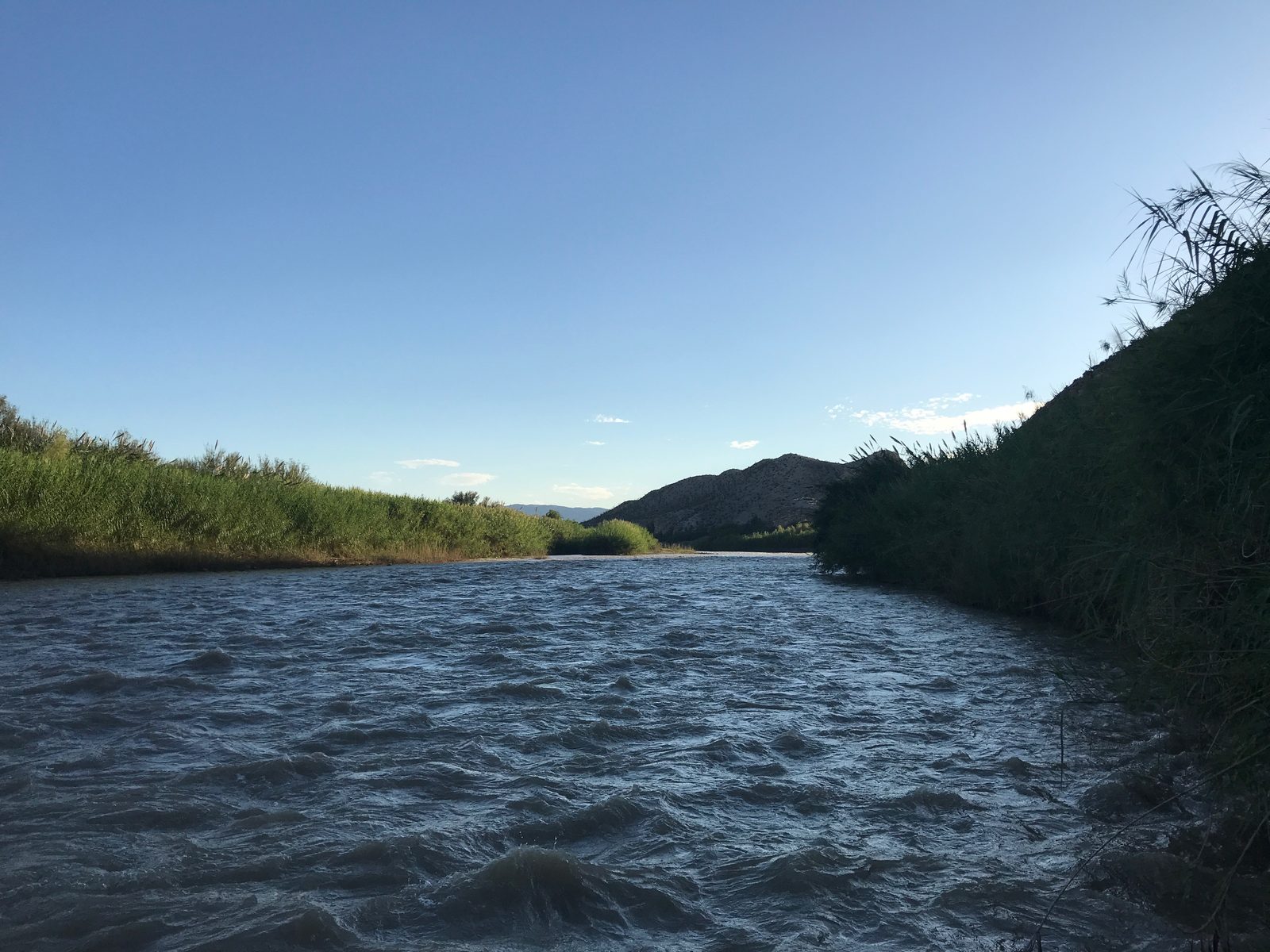
The entire south border of the park IS the Rio Grande. It is literally the border to Mexico. That means there are only a few certain ways you can enjoy this incredible river. First and foremost, a rafting guide once told me you are not allowed on the other side, unless it is to scout ahead for a rapid or in an emergency situation. There are various hikes and areas that will take you straight to water, such as the Boquillas Canyon, Santa Elena Canyon, and Hot Springs. You can also plan a rafting excursion with a local guide, such as Angel Expeditions (link below).
Chisos Mountains
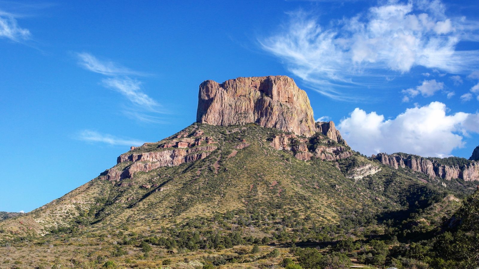
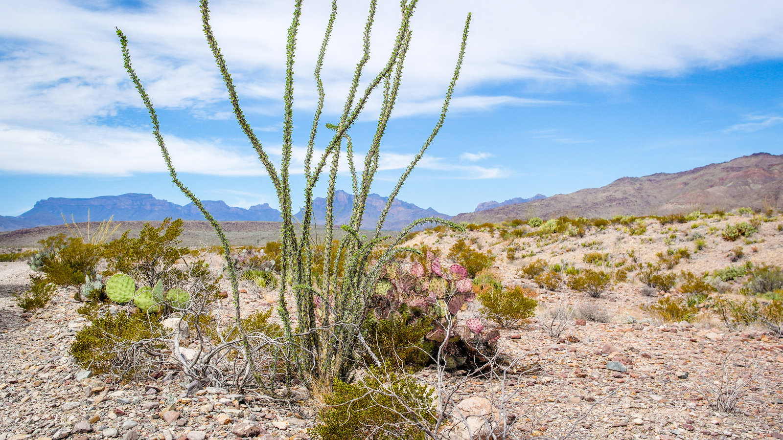
The Chisos Mountains make up the interior of the park. You can't miss them. Personally, I think the most spectacular views are found driving to Chisos Basin.
Lost Mine Trail
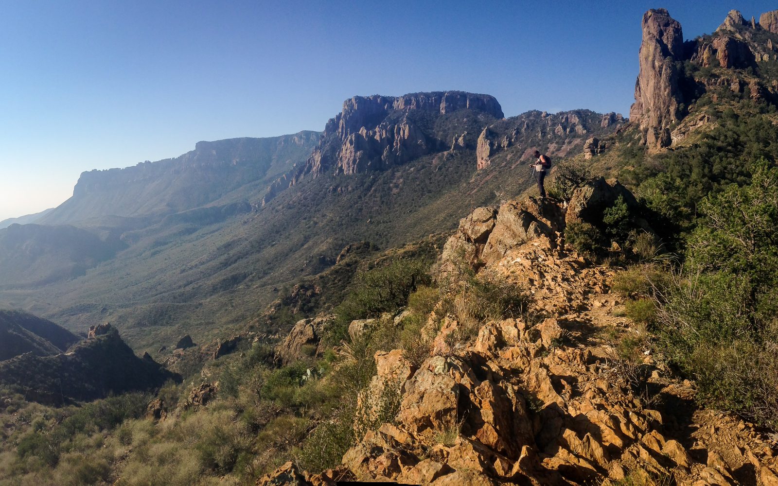
This is multi-hour hike that ends in a 360 degree view. It is not necessarily difficult but basic equipment and preparations apply.
The Window
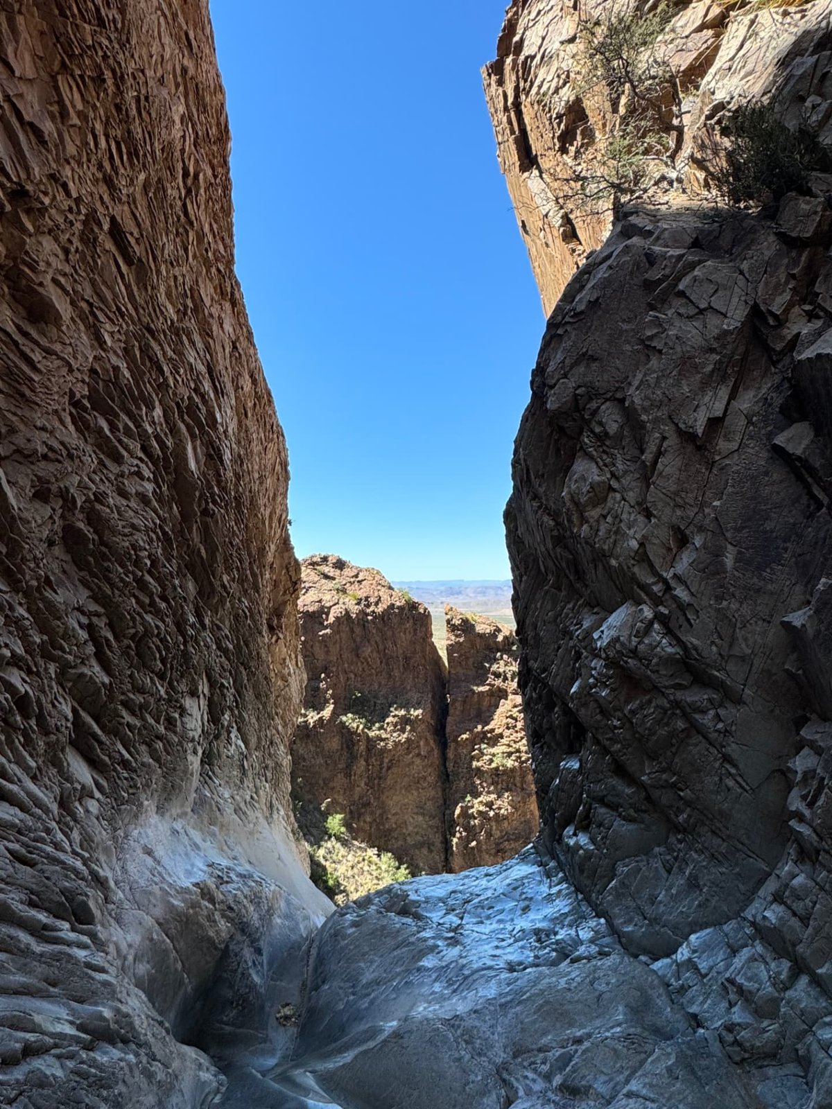
An easy hike from Chisos Basin that ends at The Window, a gap in the rock where all of the water in the basin drains out. You finish on smooth polished rock looking straight through the gap and out over the desert far below. It can be slick, so watch your step on the way down.
Earnst Tinaja
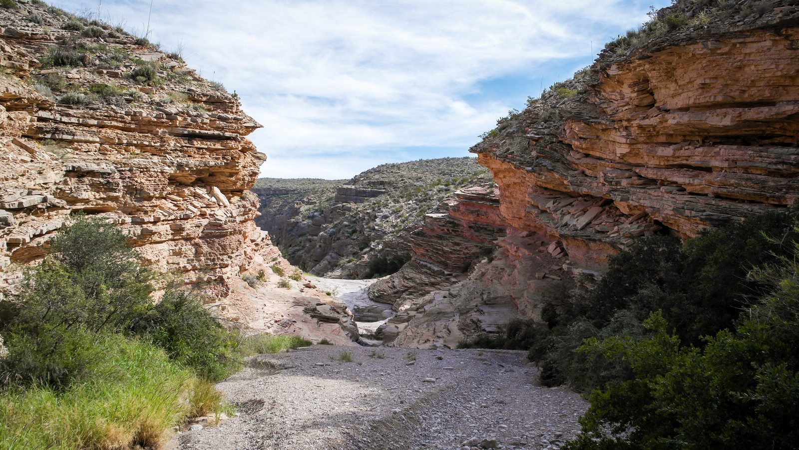
This is a great stop-off while driving Old Ore Road. This a mile or so hike to this view, with a few natural pools (not for swimming...) and some shade found at its dead-end.
Ross Maxwell Scenic Drive
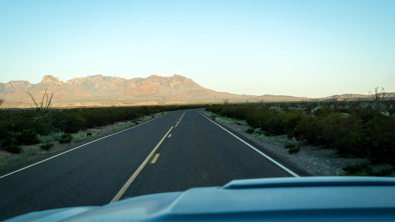
I've always loved taking this road on the west of the park on the way out. The views are just breathtaking with plenty of places to pull over and admire the scenery.
Boquillas Canyon
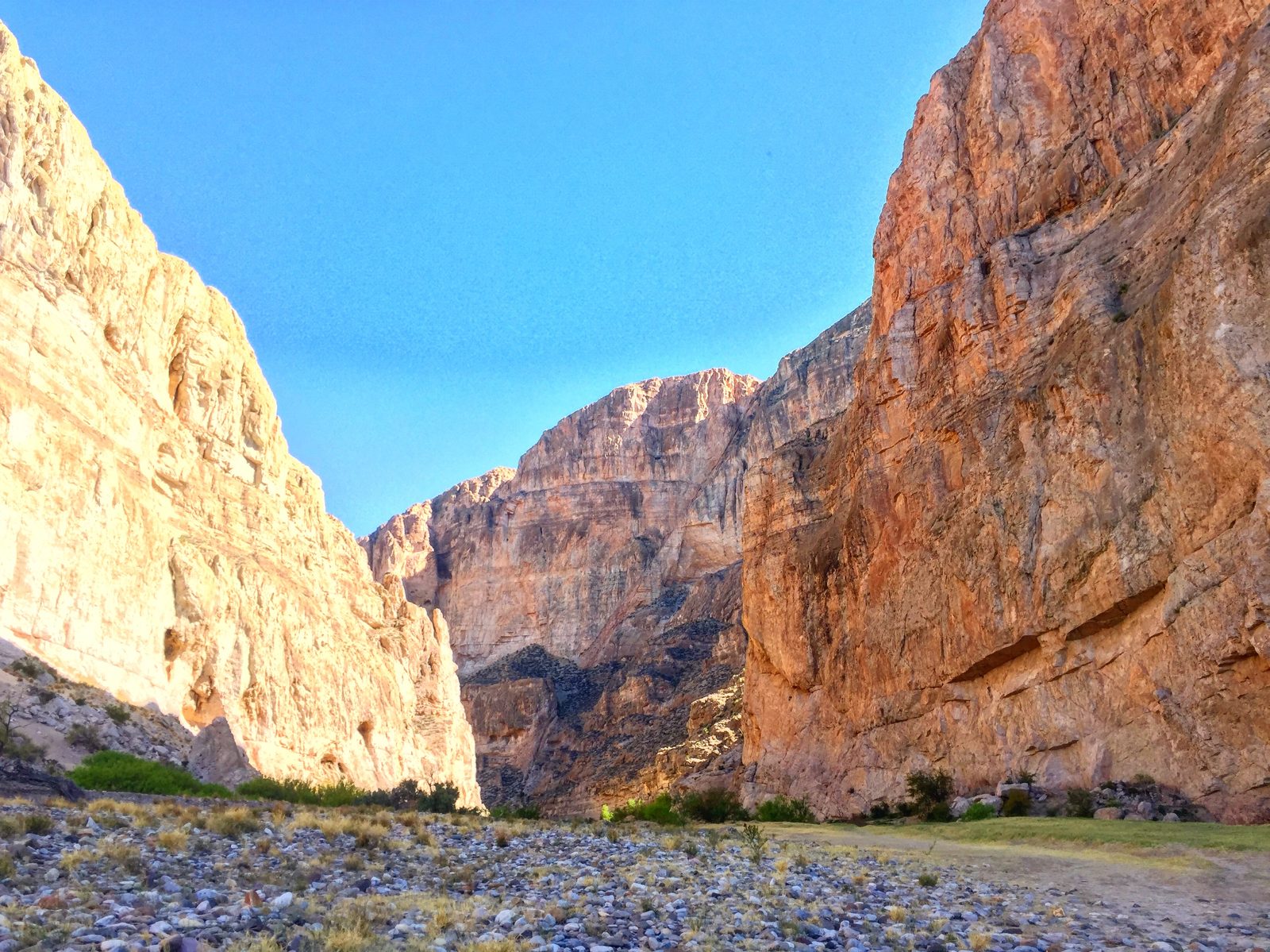
Boquillas Canyon is a short and easy hike that ends on the Rio Grande. You can also opt to do the "Boquillas Crossing" and cross the river with the help of some locals from across the border in order to go grab some tacos and tequila for lunch. This is totally legit with the NPS but you will need your passport. Donkeys will help escort you to the village.
Hot Springs Historic District
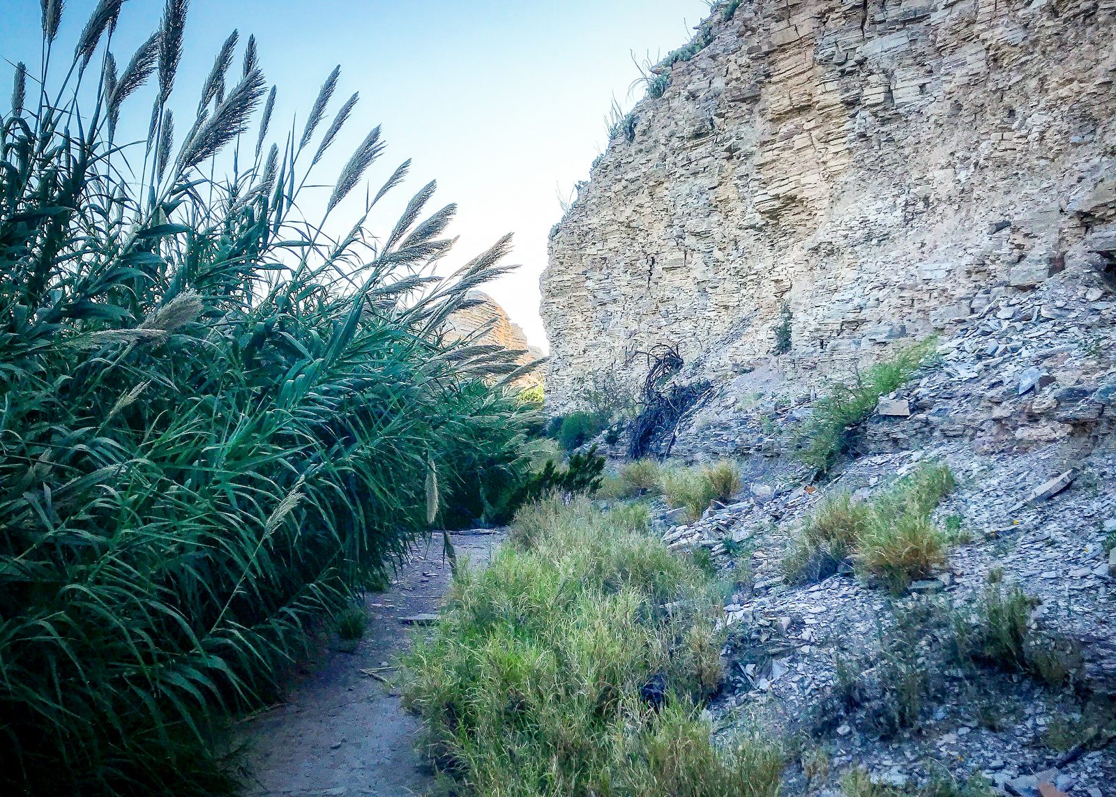
This little hike that ends in a Hot Spring is often crowded, often with old men. Certainly an interesting place to check out, if not for the old buildings.
Terlingua
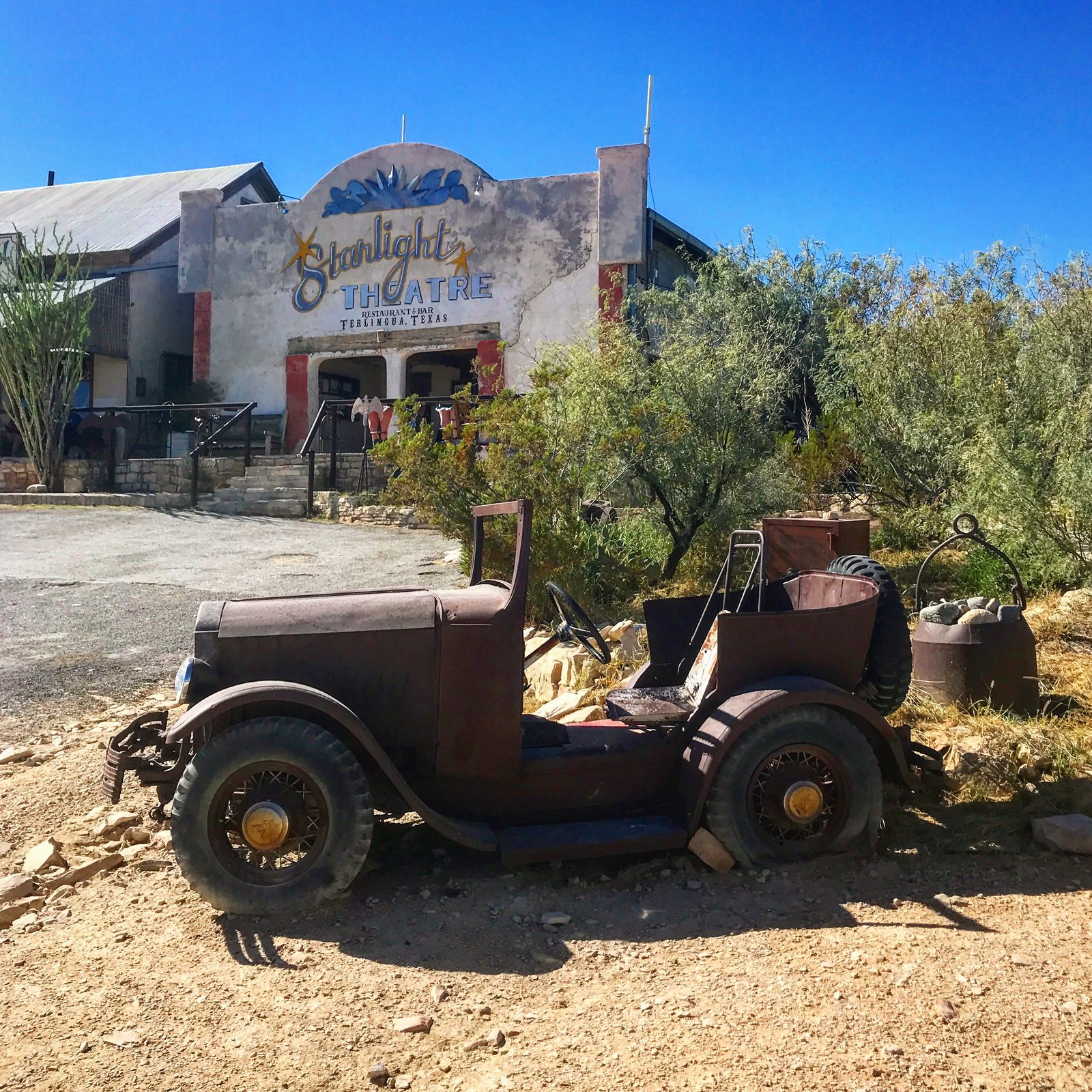
You can't *not* go to Terlingua if you're in the area. This ghost town with population 28, last time I checked, is worth the drive just to have lunch at the Startlight Theater. There are also a few places to stay here. Plan accordingly, as the drive can take several hours depending on where you're staying in the park.
Mariscal Mine
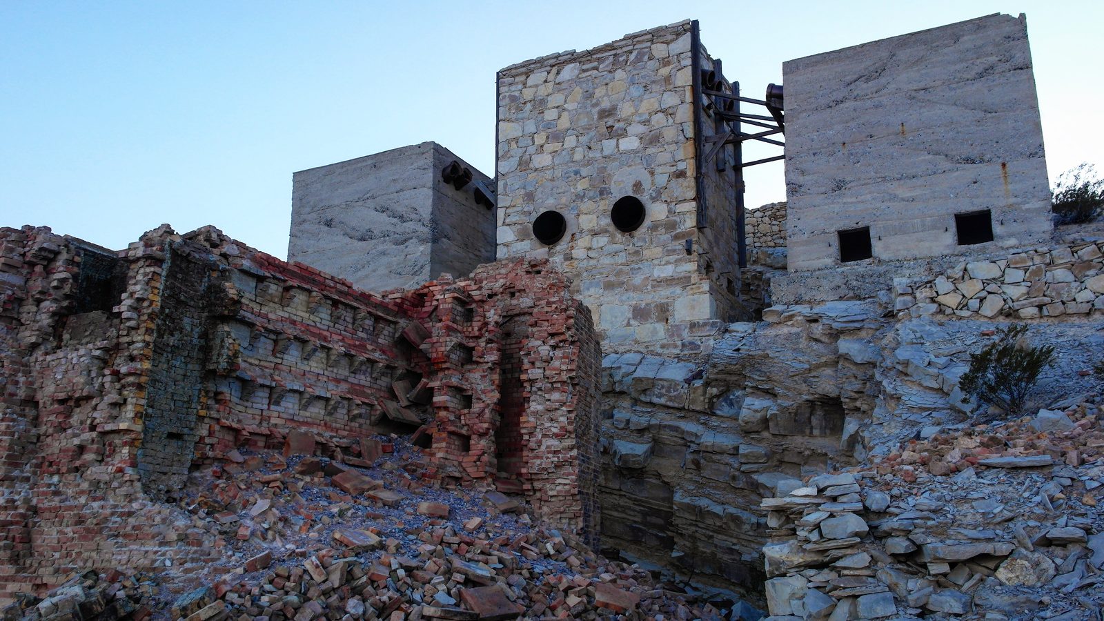
This old mercury mine is such an incredible site in the middle of the desert. I've heard that you shouldn't climb up into the ruins and I've heard that it's totally acceptable. Just don't like the walls.
Santa Elena Canyon
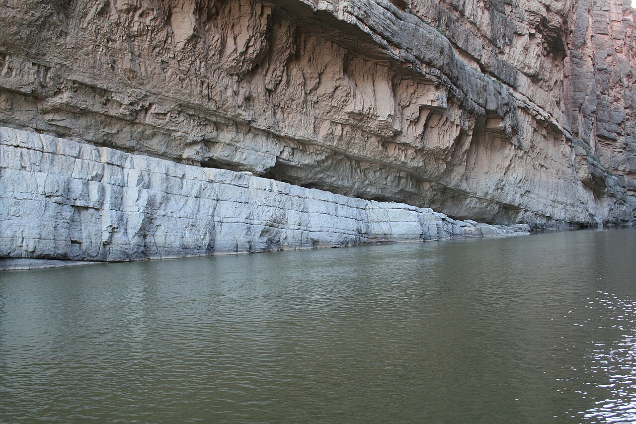
Photo: Leaflet · Public domain
A beautiful place to hang out, eat some lunch, and enjoy the view. Getting in the water is easy here, but depending on the level, you may have to walk a bit to get to it.
Marfa, TX
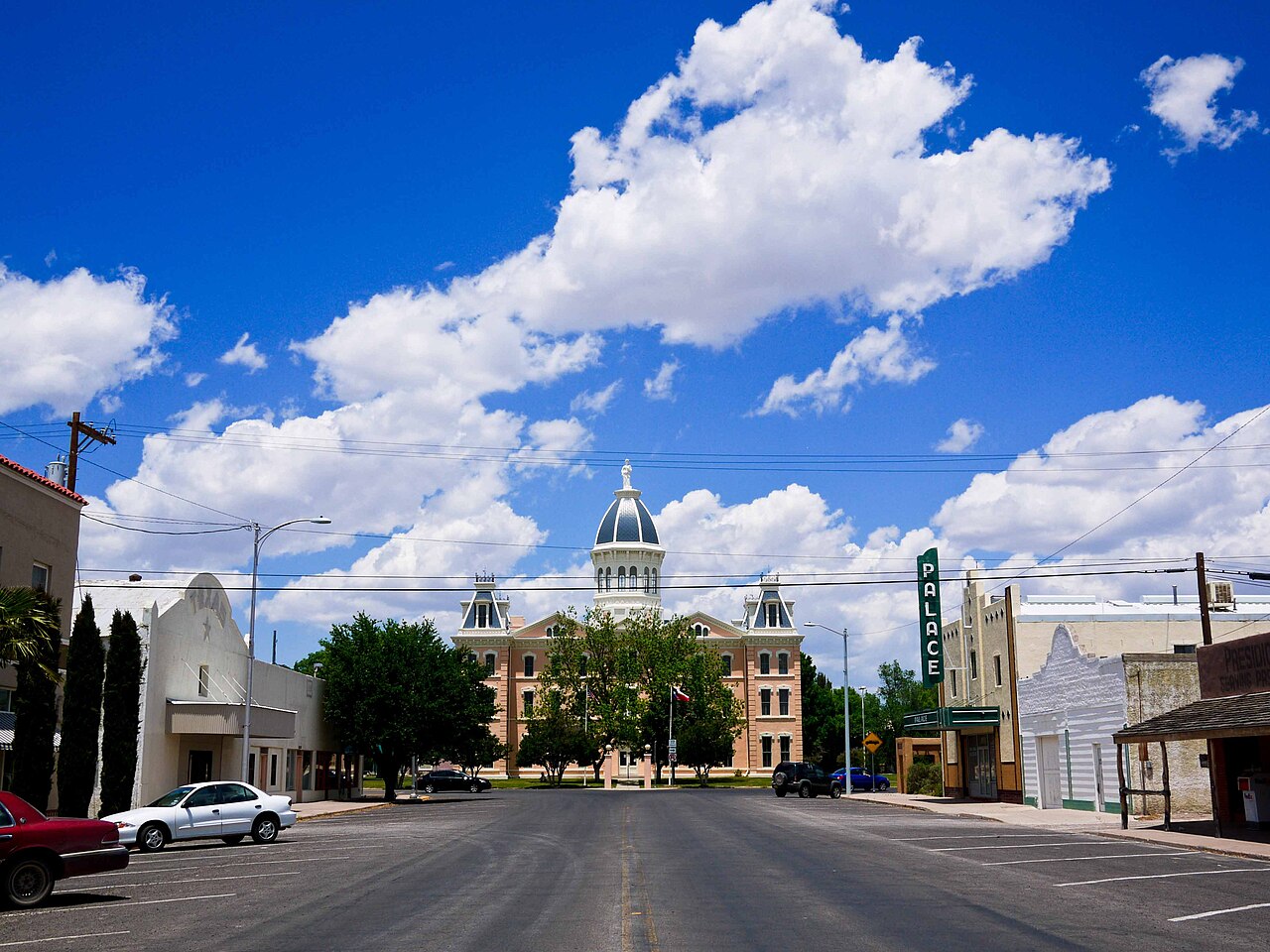
Photo: Paul Joseph · CC BY 2.0
I found Marfa to be totally lackluster when I visited. I imagine that if you visit during an art festival, the town is lively and welcoming. Otherwise, it wasn't for me.
Lajitas, TX
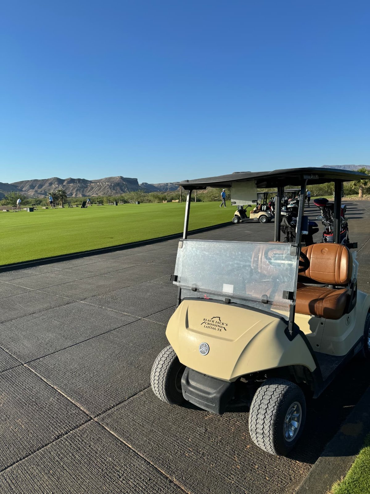
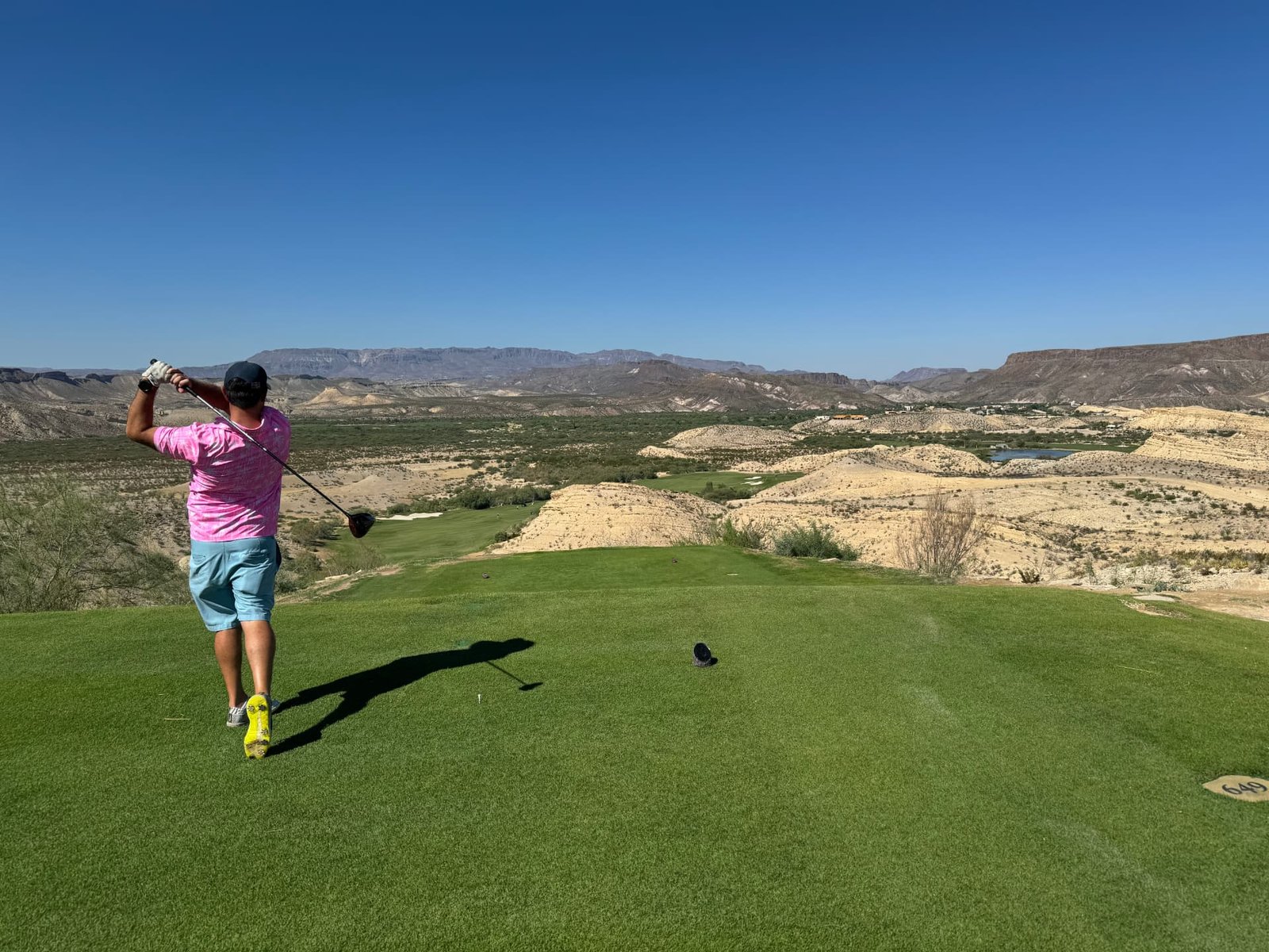
A small resort town right on the border, just west of the park. Lajitas is famous for one thing above all: its mayor was a goat. Seriously — Clay Henry the goat held the office, and the town has embraced the story ever since. These days the draw is the Lajitas Golf Resort. Black Jack's Crossing is a world-class desert golf course with sweeping views across the Rio Grande into Mexico, and the resort spa is the perfect way to wind down after a few dusty days on the trails. A round of golf followed by some time in the spa is a good way to spend the day.
Other sites I have yet to take in:
- The Balanced Rock
- Emory Peak
- The South Rim Loop
- Sam Nail Ranch
- Closed Canyon
Things to Do
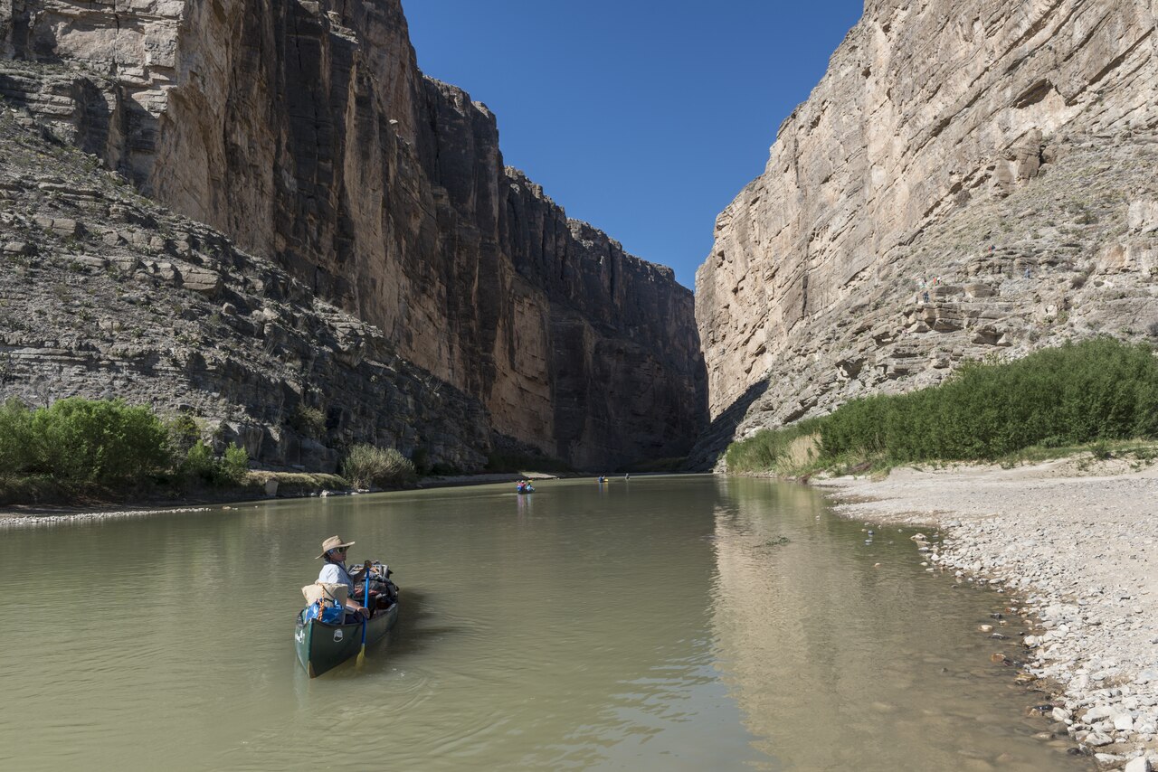
Photo: Carol M. Highsmith · Public domain
Being a National Park, you are left with driving the few trails and hiking. You can, however, connect with some of the local expedition and adventure outfits to schedule some mountain biking or rafting (or canoeing depending on the water level).
Angel Expeditions
This is who we used, with Charlie being our private guide: charles@angellexpeditions.com Depending on the water levels in the Rio Grande, you can either canoe, kayak or raft. Charlie also has bikes for mountain biking. Prices are reasonable.
Desert Sports TX
http://www.desertsportstx.com/
NOT A CAMPER? HERE ARE SOME OTHER LODGING OPTIONS.
Houses
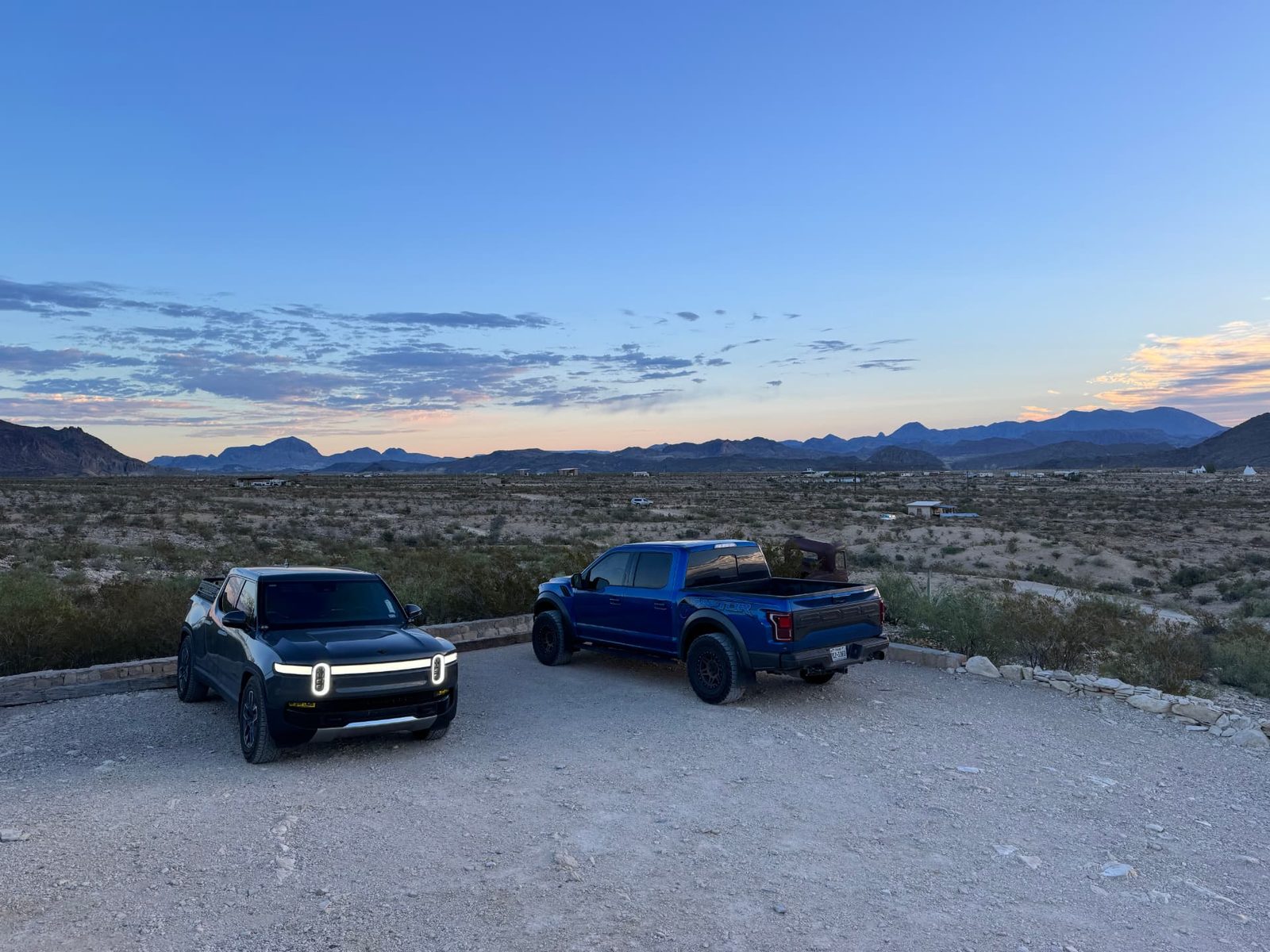
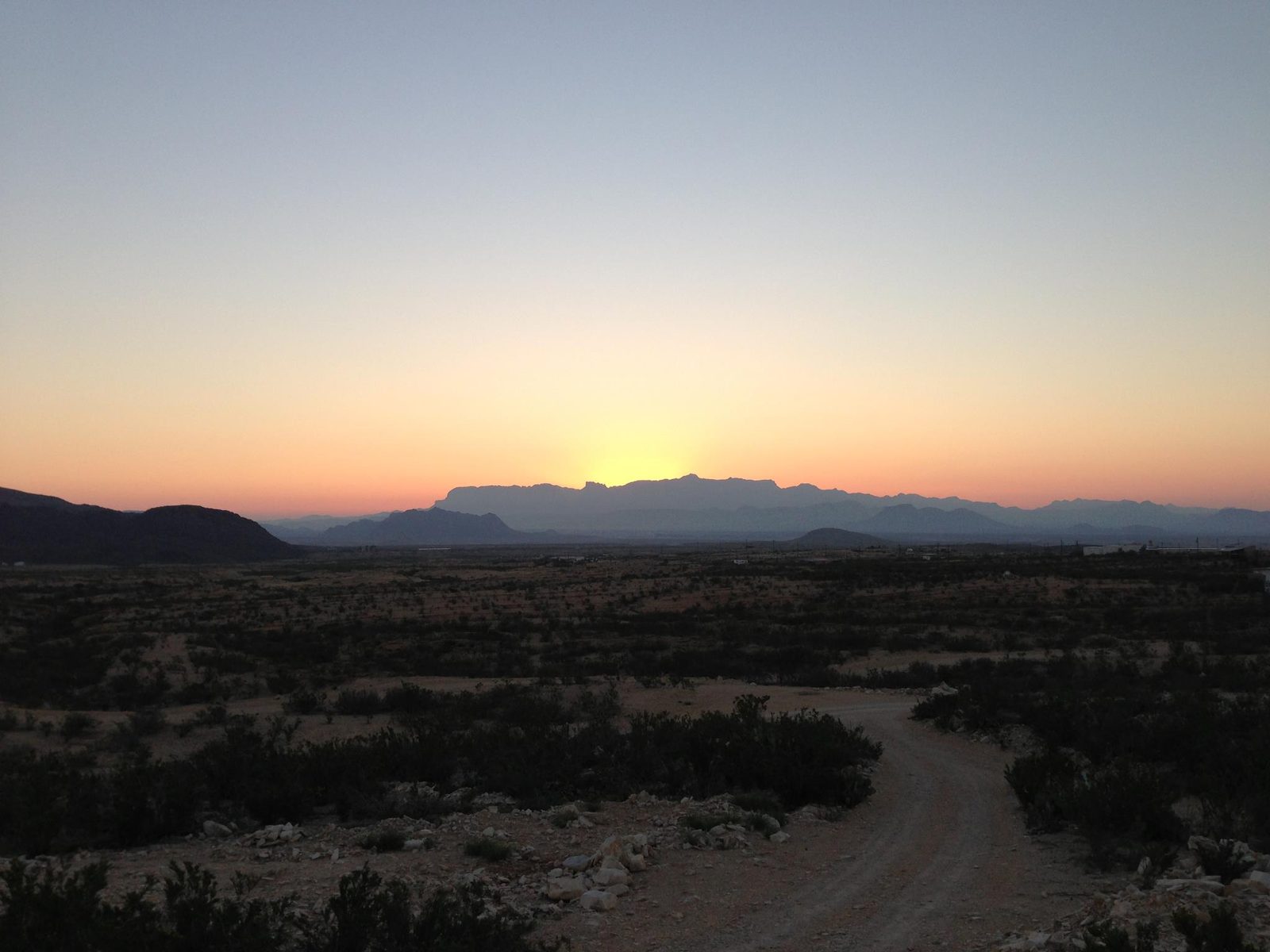
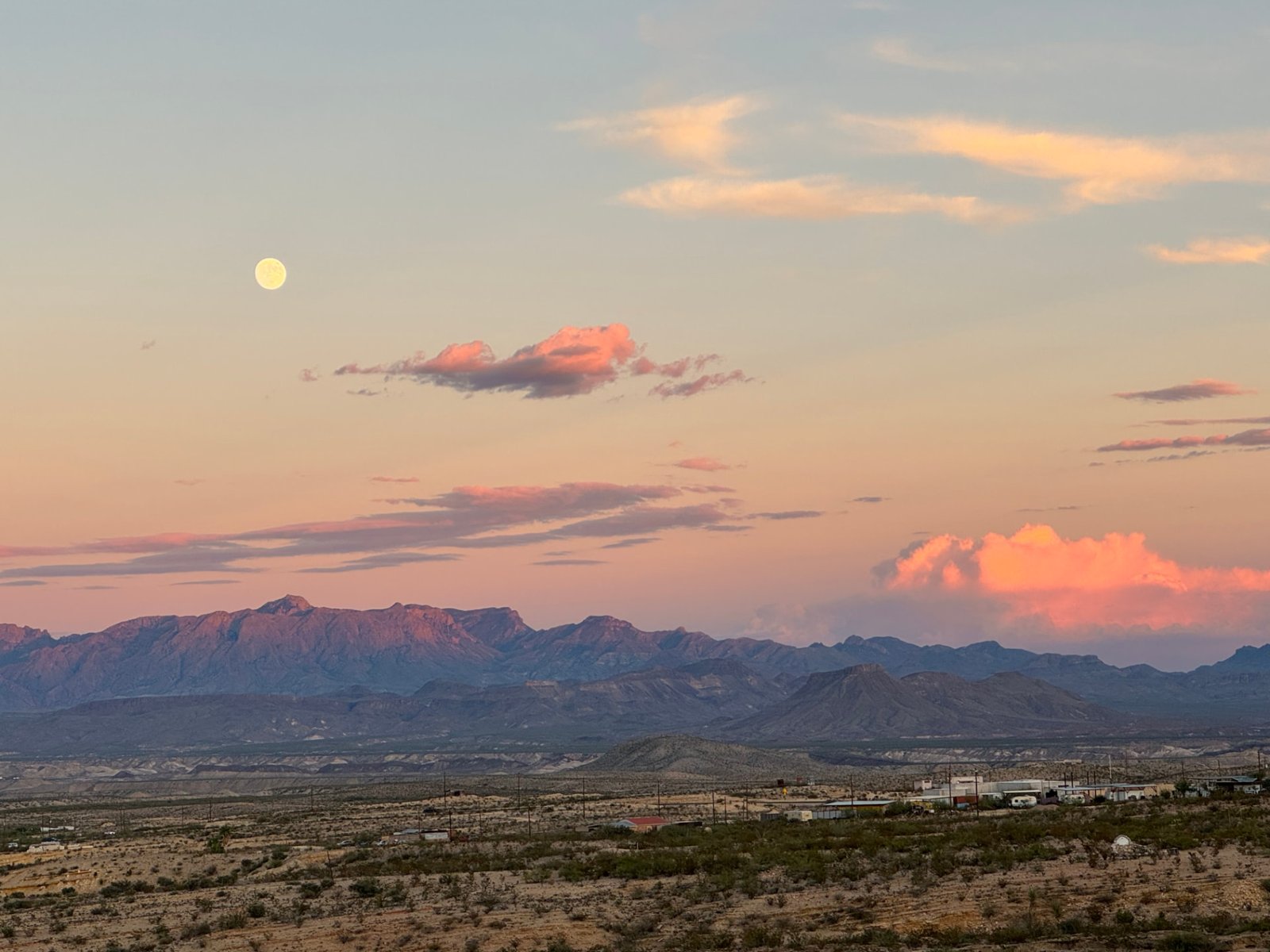
There are various AirBnBs to stay in outside of the park. This house (link below) we rented during our visit in 2012 is located in the ghost town of Terlingua with easy access to the parks. Amazing views and walking distance to a couple of restaurants in town. I highly recommend this option if you are looking for a house to stay in.
Hotels, Resorts, & Lodges
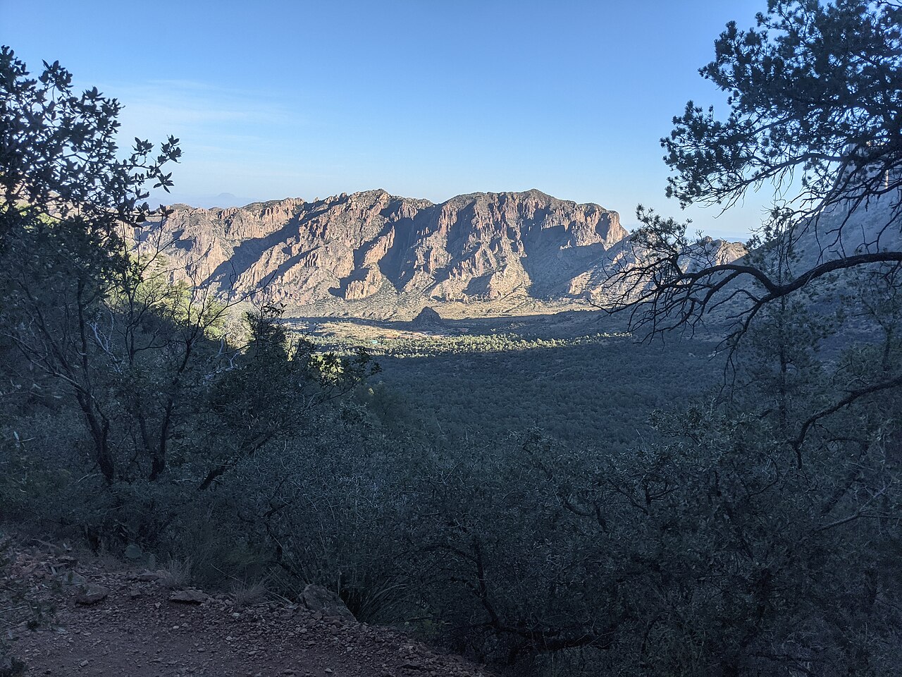
Photo: Bpluke01 · CC BY-SA 4.0
There a few options outside the park and one in the park at Chisos Basin.
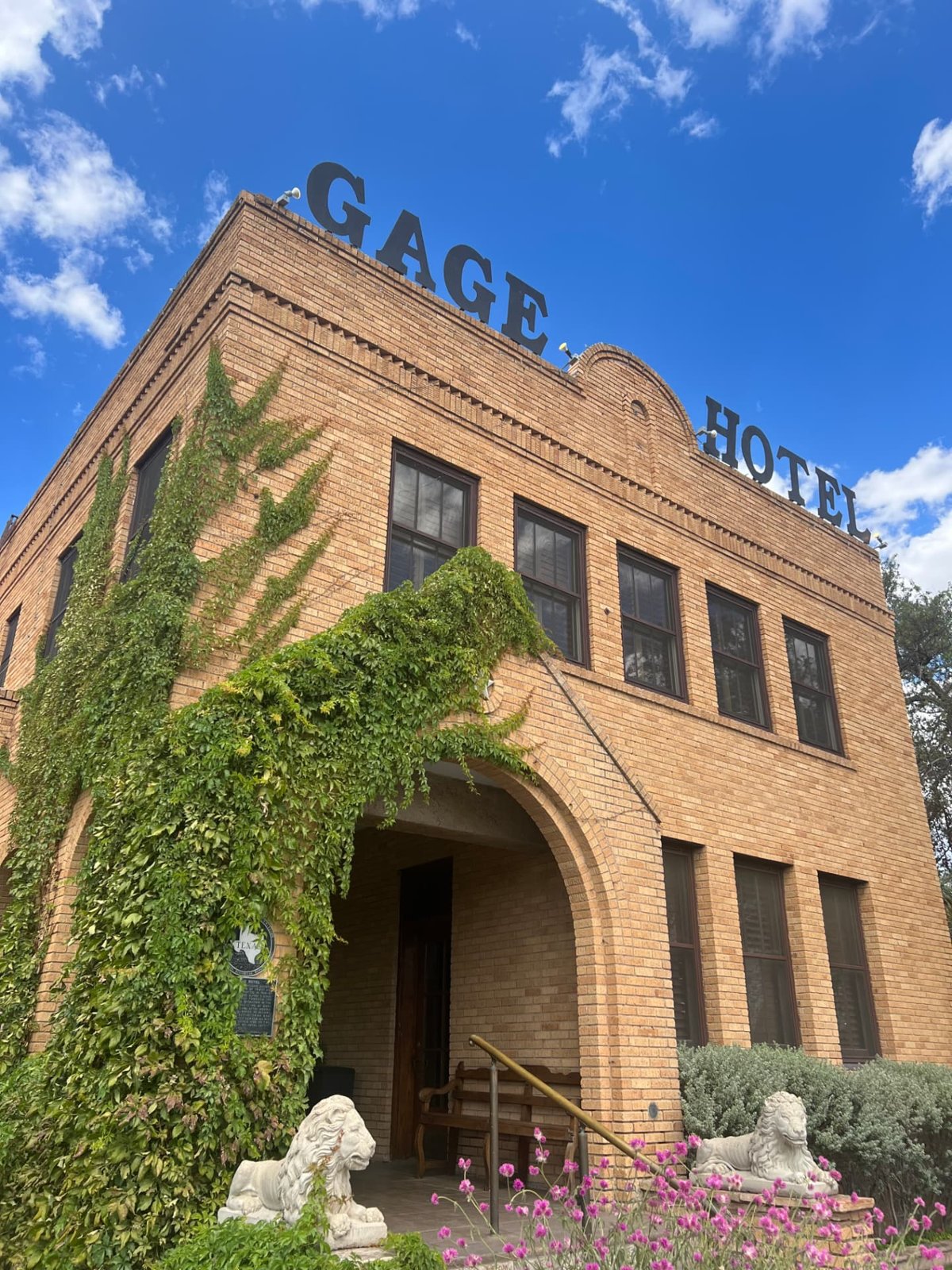
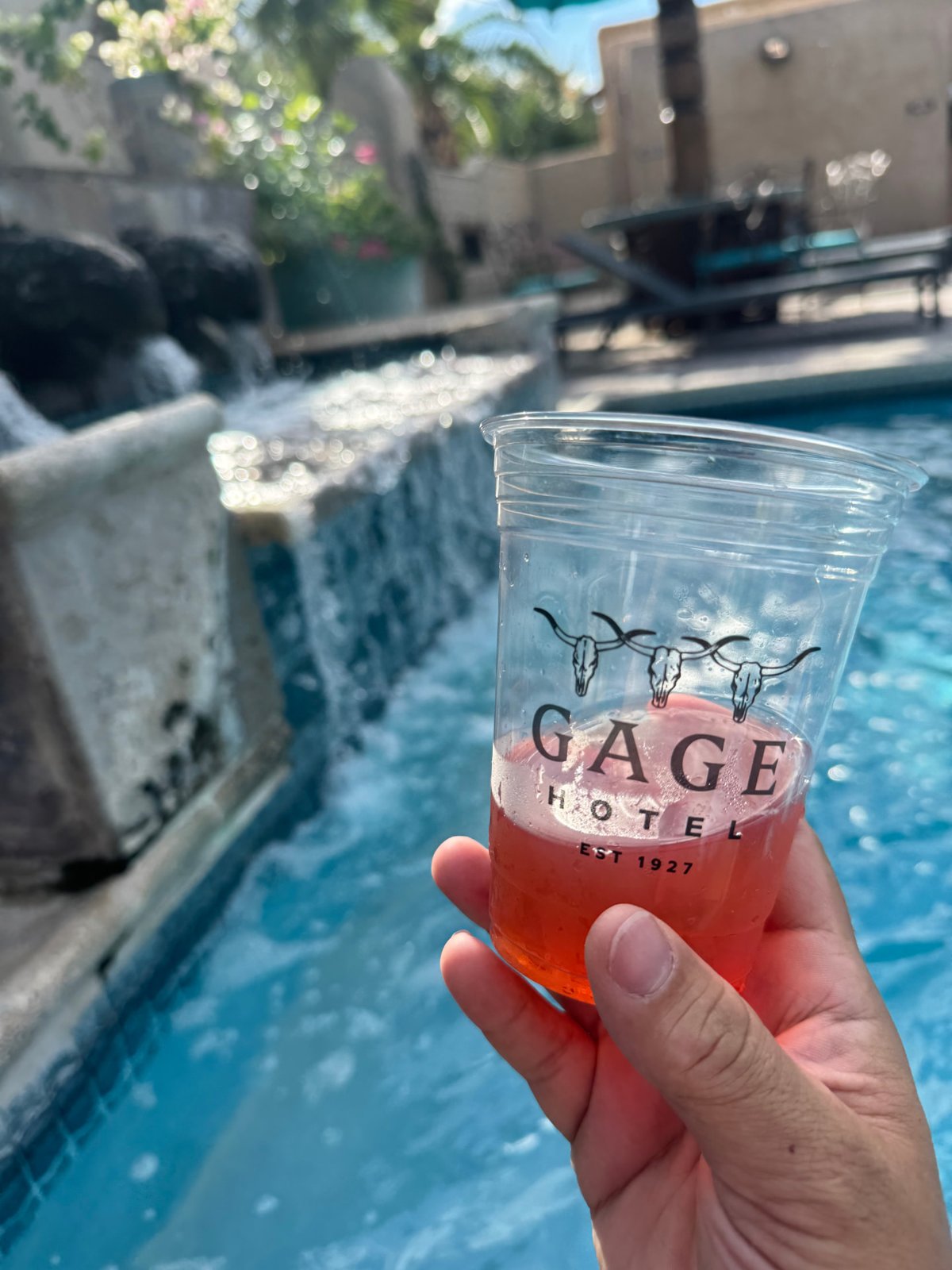
Gage Hotel
A classic West Texas hotel right in Marathon, about 40 minutes from the park entrance. The Gage was built in 1927 and still has all of its old character — ivy-covered brick, stone lions, and a great pool to cool off in after a long day on the trails. The White Sage restaurant and the V6 coffee bar make it easy to never want to leave, and the porch rocking chairs at sunset are hard to beat.